Istocno Sarajevo
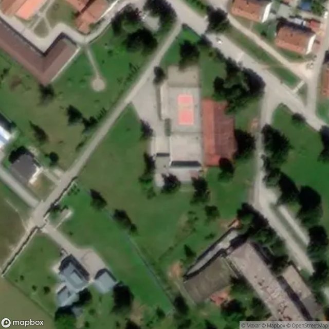
Mappa Urbex Njegoševa, Pale
Istocno SarajevoRepuplika SrpskaBosnia ed Erzegovina
Aggiornamenti a vita
Njegoševa, Pale - Coordonnées GPS Urbex
Obtenez la coordonnée GPS exacte de ce lieu abandonné situé dans le département Istocno Sarajevo (Repuplika Srpska, Bosnia ed Erzegovina). Spot urbex vérifié et géolocalisé.
The SAO of Romanija (Serbian Cyrillic: САО Романија, Serbian: SAO Romanija) was a self-proclaimed ethnic Serb autonomous region within SR Bosnia and Herzegovina in the prelude to the Bosnian War. It was named after the Romanija mountain. It included parts of three municipalities with a population of 37,000.
0,90EUR
Paiement unique - accès à vie
Pagamento 100% sicuro
AMEX
Google Pay
stripe
Connessione SSL crittografata · Nessun dato bancario memorizzato
Ce qui est inclus
- Coordonnée GPS exacte
- Photo satellite du spot
- Accès immédiat après achat