Cheb
Mappa Urbex U Rozhledny, Aš
ChebKarlovarskyRepubblica Ceca
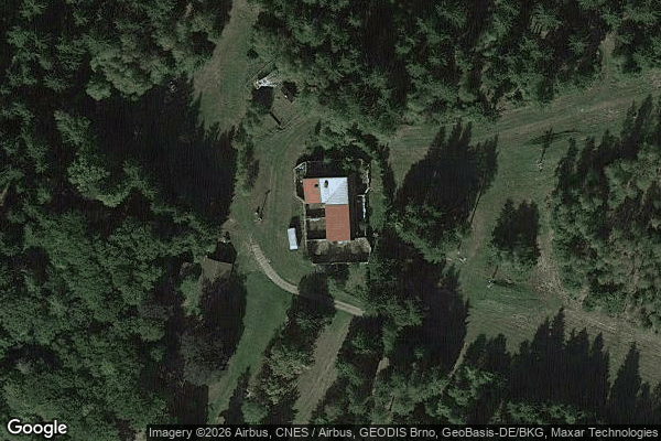
U Rozhledny, Aš - Coordonnées GPS Urbex
Obtenez la coordonnée GPS exacte de ce lieu abandonné situé dans le département Cheb (Karlovarsky, Repubblica Ceca). Spot urbex vérifié et géolocalisé.
Háj (German: Hainberg bei Asch, 758 m) is the highest mountain in the Czech part of the Fichtel Mountains. It lies near Aš in the Czech Republic. On the summit there is a mountain inn that was destroyed by fire and an observation tower.
0,90EUR
Paiement unique - accès à vie
Pagamento 100% sicuro
AMEX
Google Pay
stripe
Connessione SSL crittografata · Nessun dato bancario memorizzato
Ce qui est inclus
- Coordonnée GPS exacte
- Photo satellite du spot
- Accès immédiat après achat