Saône-et-Loire
Mappa Urbex Concasseur
Saône-et-LoireBourgogne-Franche-ComtéFrancia
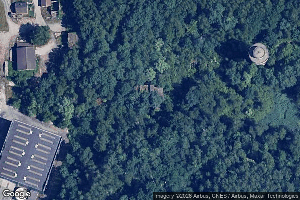
Concasseur - Coordonnées GPS Urbex
Obtenez la coordonnée GPS exacte de ce lieu abandonné situé dans le département Saône-et-Loire (Bourgogne-Franche-Comté, Francia). Spot urbex vérifié et géolocalisé.
Les Télots Mine extracted oil shale dating from the Asselian era at Saint-Forgeot, on the outskirts of Autun in Saône-et-Loire town in central-eastern France. Shale mining in the area began in 1824 at Igornay. By 1837, shale oil was being produced for public lighting, and installations were constantly being improved to diversify production.
0,90EUR
Paiement unique - accès à vie
Pagamento 100% sicuro
AMEX
Google Pay
stripe
Connessione SSL crittografata · Nessun dato bancario memorizzato
Ce qui est inclus
- Coordonnée GPS exacte
- Photo satellite du spot
- Accès immédiat après achat