Mappa Urbex Sigmaringen
25 luoghi abbandonati a Sigmaringen

25
luoghi
Pagamento unico - accesso a vita
Pagamento 100% sicuro
Connessione SSL crittografata · Nessun dato bancario memorizzato
Aggiornamenti a vita
Temi inclusi in questo pacchetto
Tutti i luoghi abbandonati di Sigmaringen
25 coordinate GPS verificate nel dipartimento di Sigmaringen, Baden Wurttemberg, Germania.
Cerchi luoghi abbandonati a Sigmaringen, Baden Wurttemberg, Germania? Urbex Maps offre 25 coordinate GPS verificate di edifici abbandonati in questa zona, tra cui Rovine, Castelli, Mulini, Case abbandonate, Ponti.
25
spot verificati
GPS
Google Maps, Waze
settembre 2026
ultimo aggiornamento
Dove trovare luoghi abbandonati a Sigmaringen?
I luoghi abbandonati a Sigmaringen si trovano tramite la mappa urbex interattiva di Urbex Maps con 25 coordinate GPS verificate. Le categorie principali sono Rovine, Castelli, Mulini, Case abbandonate, Ponti.
Tipi di luoghi abbandonati a Sigmaringen
Spots a Sigmaringen

Bei der Lohmühle, Veringenstadt (Stadt)
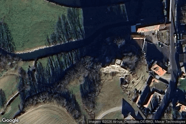
Dietfurt, Vilsingen
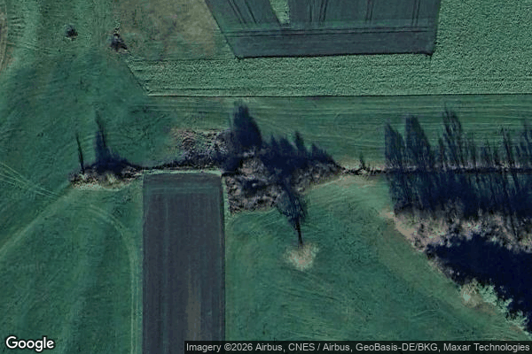
Hipfelsberg, Ennetach

House of the Nerds / Haus des Nerds
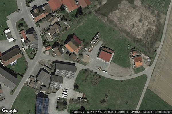
Kalkreute, Ostrach

Laubbach, Unterweiler

Mengen

Mieterkingen, Herbertingen

Pfullendorf

Rast
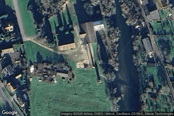
Scheer
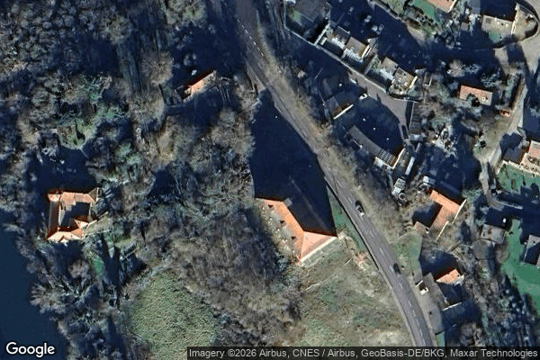
Scheer

Schulstraße, Pfullendorf-Stadt
Shadows of the Grid
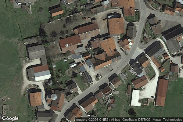
Stetten am kalten Markt
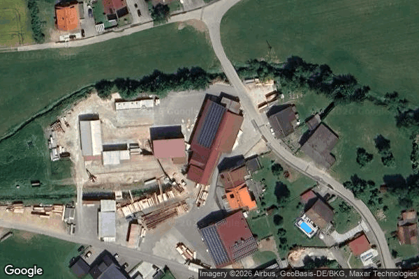
Sägemühle
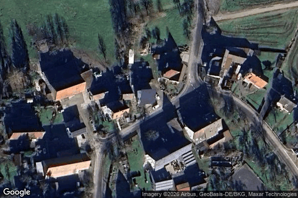
The Geometry of Silence

The Imported Digital Echo

The Latent Coordinate

Thiergarten
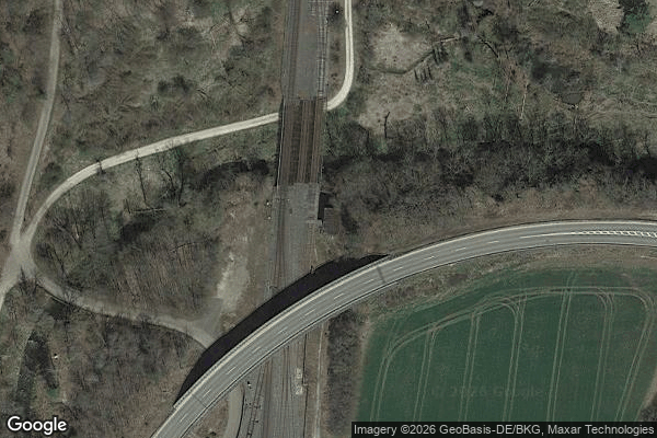
Traces of Mapped Silence
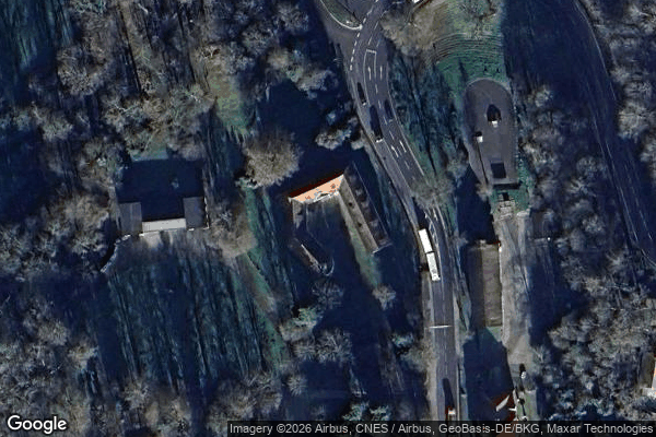
Traces of Mapped Stillness
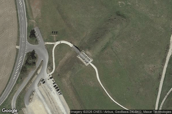
Unmapped Spatial Artifact
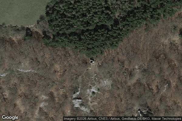
Wartturm, Hausen im Tal
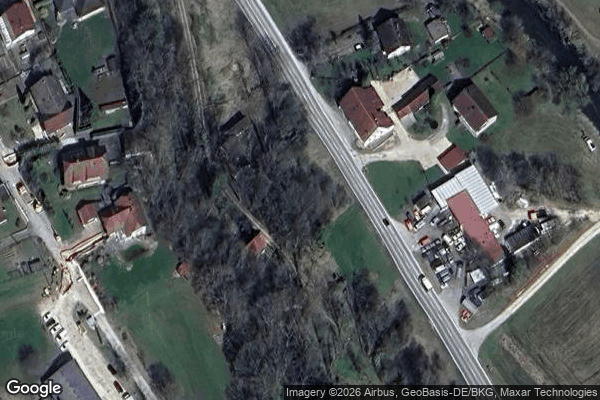
Zum Kräutle, Jungnau