Mappa Urbex Erlangen Hochstadt
21 luoghi abbandonati a Erlangen Hochstadt

21
luoghi
Pagamento unico - accesso a vita
Pagamento 100% sicuro
Connessione SSL crittografata · Nessun dato bancario memorizzato
Aggiornamenti a vita
Temi inclusi in questo pacchetto
- Rovine
- Fabbriche abbandonate
- Bunker
- Stazioni
- Case abbandonate
- Mulini
- Militare
Tutti i luoghi abbandonati di Erlangen Hochstadt
21 coordinate GPS verificate nel dipartimento di Erlangen Hochstadt, Bayern, Germania.
Cerchi luoghi abbandonati a Erlangen Hochstadt, Bayern, Germania? Urbex Maps offre 21 coordinate GPS verificate di edifici abbandonati in questa zona, tra cui Rovine, Fabbriche abbandonate, Bunker, Stazioni, Case abbandonate, Mulini.
21
spot verificati
GPS
Google Maps, Waze
settembre 2026
ultimo aggiornamento
Dove trovare luoghi abbandonati a Erlangen Hochstadt?
I luoghi abbandonati a Erlangen Hochstadt si trovano tramite la mappa urbex interattiva di Urbex Maps con 21 coordinate GPS verificate. Le categorie principali sono Rovine, Fabbriche abbandonate, Bunker, Stazioni, Case abbandonate, Mulini.
Tipi di luoghi abbandonati a Erlangen Hochstadt
- Rovine
- Fabbriche abbandonate
- Bunker
- Stazioni
- Case abbandonate
- Mulini
- Militare
Spots a Erlangen Hochstadt
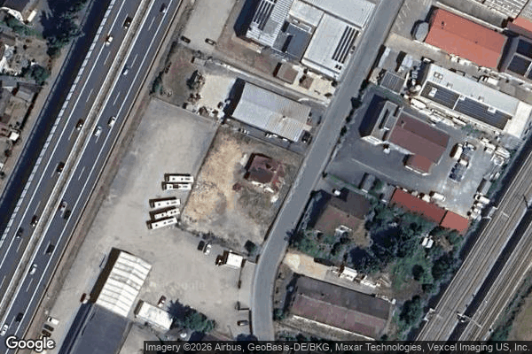
Baiersdorf

Brucker Weg, Buckenhof
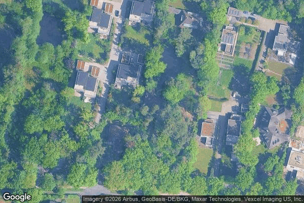
Bubenreuth

Buckenhof
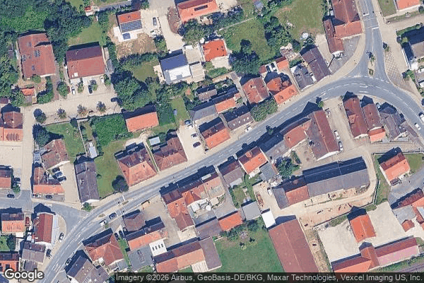
Büg, Forth
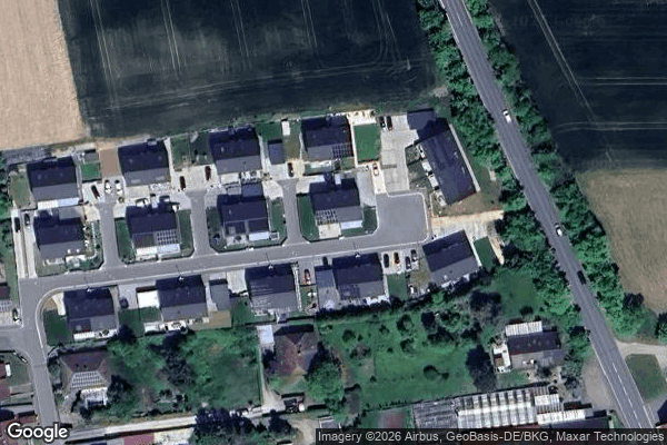
Dead Spot - Factory Monch

Franz-Köhl-Turm, Forst Tennenlohe

Heroldsbach

Herzogenaurach
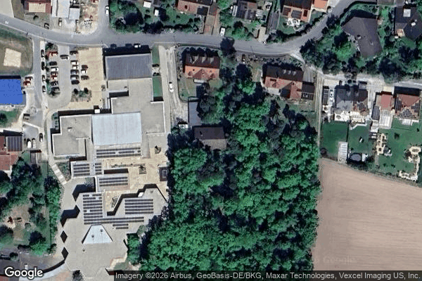
Hessdorf
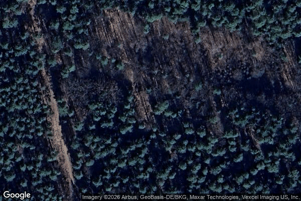
Kalchreuth

Medbacher Weg, Medbach
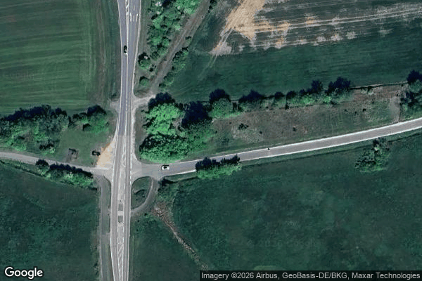
Neuhaus (b Höchstadt/Aisch)

Rudelsweiherstraße, Erlangen

Shadows in the Coordinates
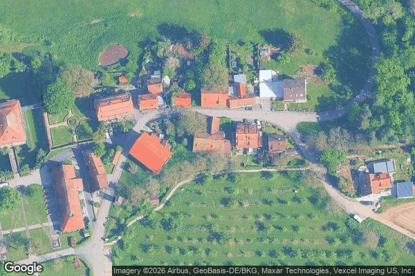
The Geometric Silence

The Latent Vector
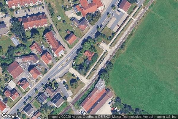
Traces in the Grid

Uttenreuther Mühle

Weiher

Werker, Erlangen