Mappa Urbex Miltenberg
43 luoghi abbandonati a Miltenberg

43
luoghi
Pagamento unico - accesso a vita
Pagamento 100% sicuro
Connessione SSL crittografata · Nessun dato bancario memorizzato
Aggiornamenti a vita
Tutti i luoghi abbandonati di Miltenberg
43 coordinate GPS verificate nel dipartimento di Miltenberg, Bayern, Germania.
Cerchi luoghi abbandonati a Miltenberg, Bayern, Germania? Urbex Maps offre 43 coordinate GPS verificate di edifici abbandonati in questa zona, tra cui Forti, Bunker, Rovine, Chiese, Castelli, Militare.
43
spot verificati
GPS
Google Maps, Waze
settembre 2026
ultimo aggiornamento
Dove trovare luoghi abbandonati a Miltenberg?
I luoghi abbandonati a Miltenberg si trovano tramite la mappa urbex interattiva di Urbex Maps con 43 coordinate GPS verificate. Le categorie principali sono Forti, Bunker, Rovine, Chiese, Castelli, Militare.
Tipi di luoghi abbandonati a Miltenberg
Spots a Miltenberg
Amorbach

Conradyweg, Miltenberg
Erlenbach am Main

Erlenbach am Main
Erlenbach am Main

Friedrichstraße, Eisenbach
Gottersdorfer Weg, Neudorf
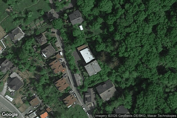
Gotthardsweg, Amorbach

Kiefernweg, Erlenbach am Main

Kleinheubach

Leidersbach

MIL 25, Kleinwallstadt

MIL 26, Kleinwallstadt
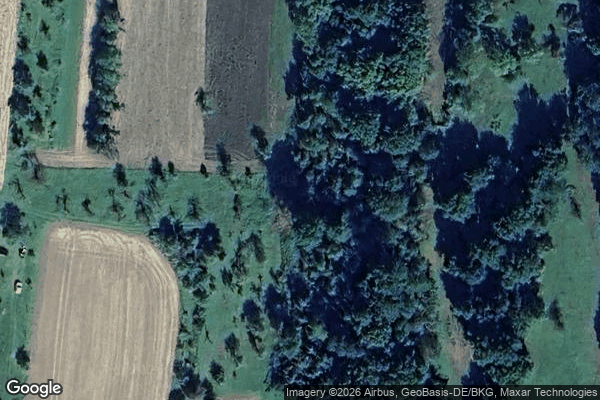
MIL 26, Kleinwallstadt
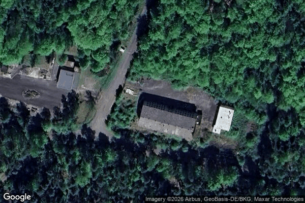
Mainbullau
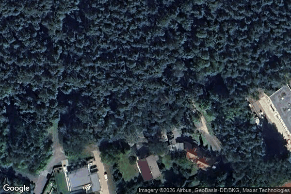
Oberer Forstweg, Erlenbach am Main

Oberhauser Weg, Kleinwallstadt

Pirschpfad, Weilbach
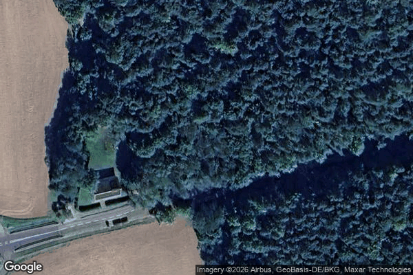
Points Beyond the Vector
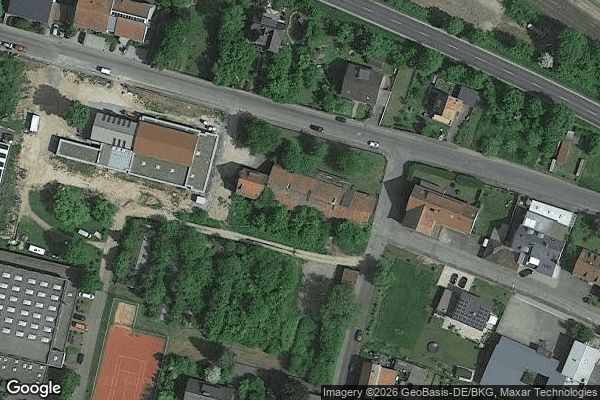
Praxis Dr. med. Link, Amorbach

Riedern

Schützenhausstraße, Elsenfeld

St 2308, Elsenfeld

St 2309, Elsenfeld
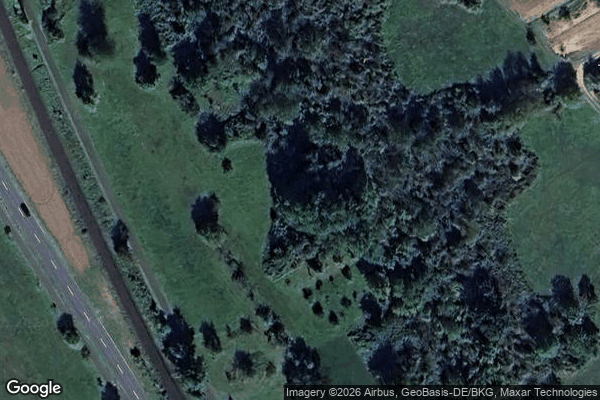
St 2309, Sulzbach am Main

St 2309, Sulzbach am Main

St. Laurentius, Sommerau
St.-Judas-Thaddäus-Weg, Kleinwallstadt
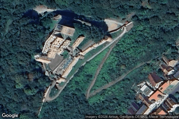
The Geometry of Shadows

The Imported Phantom Point
The Imported Silent Node

The Imported Void

The Mapped Silence
The Mapped Silence
The Transferred Silence

Traces In The Geometry

Traces Within the Grid

Traces Within the Grid

Traces in the Grid

Traces in the Grid
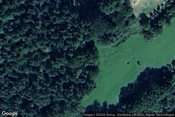
Traces of Ghost Coordinates
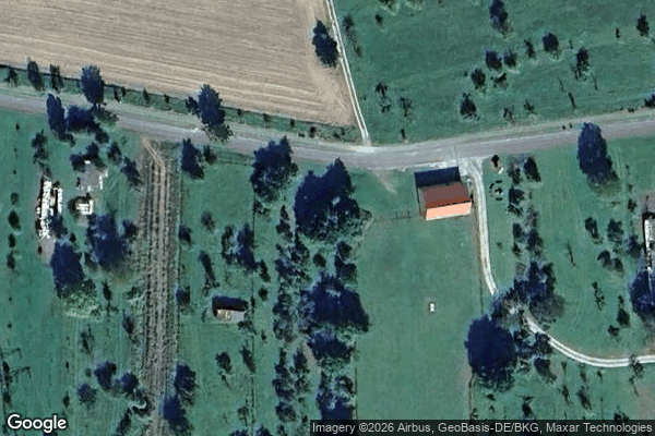
Traces of a Mapped Silence
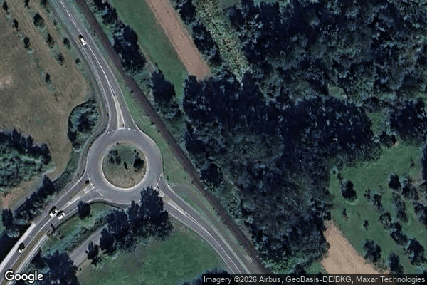
Tracing the Silent Grid