Mappa Urbex Ammerland
19 luoghi abbandonati a Ammerland

19
luoghi
Pagamento unico - accesso a vita
Pagamento 100% sicuro
Connessione SSL crittografata · Nessun dato bancario memorizzato
Aggiornamenti a vita
Temi inclusi in questo pacchetto
Tutti i luoghi abbandonati di Ammerland
19 coordinate GPS verificate nel dipartimento di Ammerland, Niedersachsen, Germania.
Cerchi luoghi abbandonati a Ammerland, Niedersachsen, Germania? Urbex Maps offre 19 coordinate GPS verificate di edifici abbandonati in questa zona, tra cui Rovine, Bunker, Case abbandonate, Mulini, Militare.
19
spot verificati
GPS
Google Maps, Waze
settembre 2026
ultimo aggiornamento
Dove trovare luoghi abbandonati a Ammerland?
I luoghi abbandonati a Ammerland si trovano tramite la mappa urbex interattiva di Urbex Maps con 19 coordinate GPS verificate. Le categorie principali sono Rovine, Bunker, Case abbandonate, Mulini, Militare.
Tipi di luoghi abbandonati a Ammerland
Spots a Ammerland

Apen

Bockhorn

Bokelermoor

Braker Chaussee, Loyermoor

Deyekamp, Edewecht

Dänikhorsterfeld, Dänikhorst
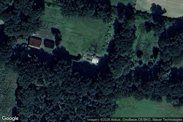
Dänikhorsterfeld, Dänikhorst

Forsthof Diana, Jeddeloh II

Heubült, Rastede

Hösjekamp, Bad Zwischenahn

Kayhausen

Rosenkrug, Mansie
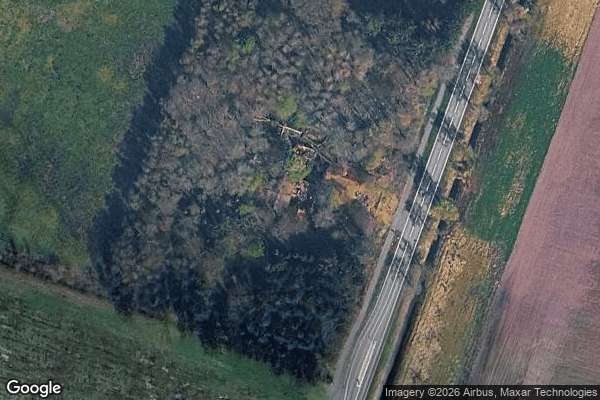
Tarbarg

Wapeldorf, Rastede

Wehnerfeld, Metjendorf

Willbroksmoor, Bad Zwischenahn

Willbroksmoor, Bad Zwischenahn

Willbroksmoor, Bad Zwischenahn

Zwischenahner Kühl- und Lagerhaus, Kayhauserfeld