Lippe
Mappa Urbex Pastorenkampsweg, Oesterholz-Haustenbeck
LippeNordrhein WestfalenGermania
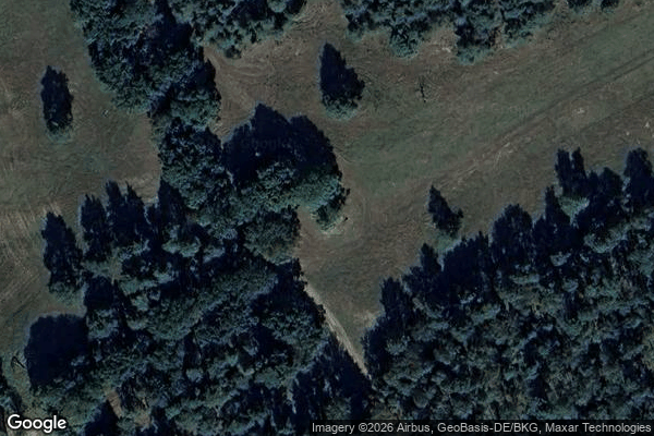
Pastorenkampsweg, Oesterholz-Haustenbeck - Coordonnées GPS Urbex
Obtenez la coordonnée GPS exacte de ce lieu abandonné situé dans le département Lippe (Nordrhein Westfalen, Germania). Spot urbex vérifié et géolocalisé.
The Senne (German pronunciation: [ˈzɛnə] ) is a natural region in the Regierungsbezirk of Detmold, in the state of Nordrhein-Westfalen in west-central Germany. It lies to the west of the Teutoburger Forest, and has an area of approximately 210 km2. It lies between the cities of Bielefeld to the north-west, Detmold to the north-east, and Paderborn to the south.
0,90EUR
Paiement unique - accès à vie
Pagamento 100% sicuro
AMEX
Google Pay
stripe
Connessione SSL crittografata · Nessun dato bancario memorizzato
Ce qui est inclus
- Coordonnée GPS exacte
- Photo satellite du spot
- Accès immédiat après achat