Mappa Urbex Warendorf
35 luoghi abbandonati a Warendorf

35
luoghi
Pagamento unico - accesso a vita
Pagamento 100% sicuro
Connessione SSL crittografata · Nessun dato bancario memorizzato
Aggiornamenti a vita
Temi inclusi in questo pacchetto
Tutti i luoghi abbandonati di Warendorf
35 coordinate GPS verificate nel dipartimento di Warendorf, Nordrhein Westfalen, Germania.
Cerchi luoghi abbandonati a Warendorf, Nordrhein Westfalen, Germania? Urbex Maps offre 35 coordinate GPS verificate di edifici abbandonati in questa zona, tra cui Fabbriche abbandonate, Fattorie, Chiese, Ferrovie abbandonate, Stazioni.
35
spot verificati
GPS
Google Maps, Waze
settembre 2026
ultimo aggiornamento
Dove trovare luoghi abbandonati a Warendorf?
I luoghi abbandonati a Warendorf si trovano tramite la mappa urbex interattiva di Urbex Maps con 35 coordinate GPS verificate. Le categorie principali sono Fabbriche abbandonate, Fattorie, Chiese, Ferrovie abbandonate, Stazioni.
Tipi di luoghi abbandonati a Warendorf
Spots a Warendorf

Affhüppenkapelle, Warendorf

Ahlen

Am Aechterkamp, Ahlen

Auf dem Jakob, Beckum

Der blaue Kochtopf, Ahlen

Diestedde

Elker, Beckum

Elsastraße, Ennigerloh

Ennigerloh

Füchtorf
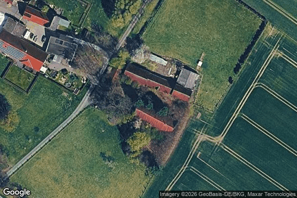
Hardt, Sendenhorst
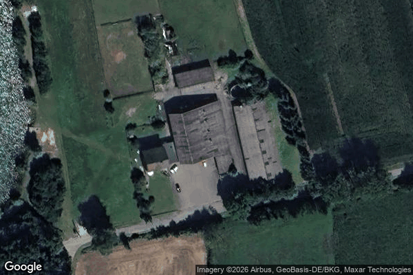
Herzebrockweg, Liesborn
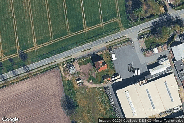
Holtrup, Warendorf

Hörste, Milte
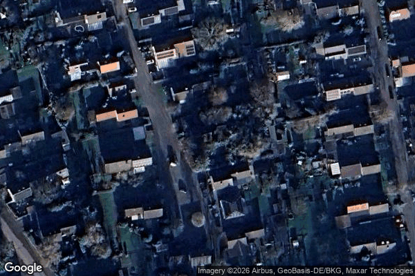
Im Klosterskamp, Ahlen
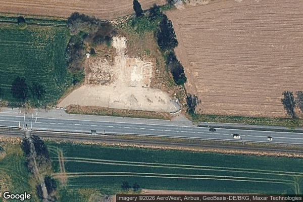
Kiebitzpohl, Telgte

Königsberger Straße

Lippweg, Beckum

Mühlenstraße, Ennigerloh

Müssingen

Oelde

Ostbezirk, Warendorf

RadStation, Beckum

Schmaler Kamp, Everswinkel

Traces of Imported Silence

Unterberg I, Beckum

Vadrup

Vertices of the Silent Grid
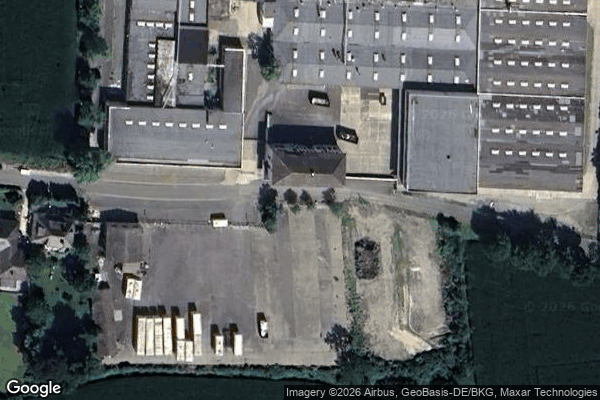
Volkswagen combi factory / Fabrik Kombi volkswagen

Zum Tienenbach, Sünninghausen

ehem. Neustadtkirche

ehem. Zeche Westfalen Schacht 5, Beckum

ehemalige Liebfrauenkirche, Beckum

historischer Ringofen, Beckum
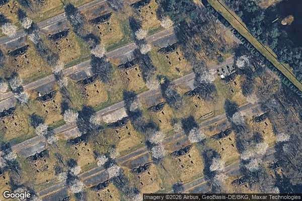
Überwasser, Ostbevern