Trim
Mappa Urbex Abandoned school closed in 2016
TrimMeathIrlanda
Aggiornamenti a vita
- Scuole
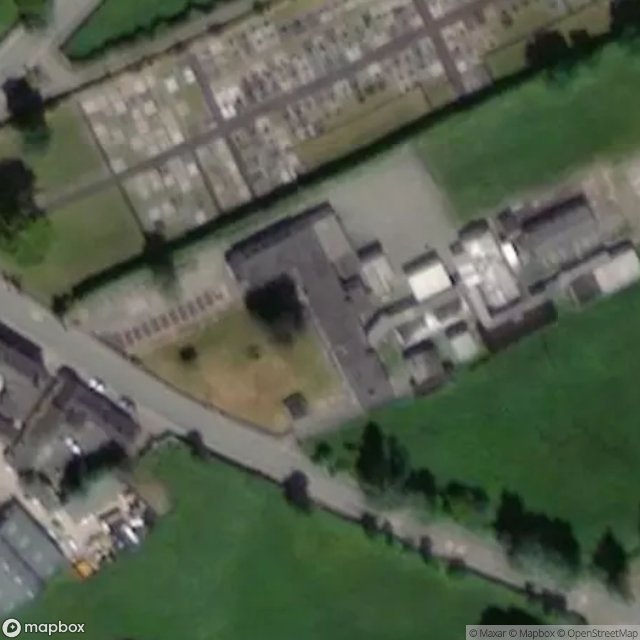
Abandoned school closed in 2016 - Coordonnées GPS Urbex
Obtenez la coordonnée GPS exacte de ce lieu abandonné situé dans le département Trim (Meath, Irlanda). Spot urbex vérifié et géolocalisé.
Longwood, historically called Moydervy (Irish: Maigh Dearmhaí), is a village in southwest County Meath, Ireland. It is located about 15 km south of the town of Trim on the R160 regional road. It is about 50 km from Dublin, off the N4 road.
0,90EUR
Paiement unique - accès à vie
Pagamento 100% sicuro
AMEX
Google Pay
stripe
Connessione SSL crittografata · Nessun dato bancario memorizzato
Ce qui est inclus
- Coordonnée GPS exacte
- Photo satellite du spot
- Accès immédiat après achat