Mappa Urbex Vijfheerenlanden
13 luoghi abbandonati a Vijfheerenlanden

13
luoghi
Pagamento unico - accesso a vita
Pagamento 100% sicuro
Connessione SSL crittografata · Nessun dato bancario memorizzato
Aggiornamenti a vita
Temi inclusi in questo pacchetto
Tutti i luoghi abbandonati di Vijfheerenlanden
13 coordinate GPS verificate nel dipartimento di Vijfheerenlanden, Utrecht, Paesi Bassi.
Cerchi luoghi abbandonati a Vijfheerenlanden, Utrecht, Paesi Bassi? Urbex Maps offre 13 coordinate GPS verificate di edifici abbandonati in questa zona, tra cui Forti, Bunker, Militare, Rovine, Fabbriche abbandonate, Case abbandonate.
13
spot verificati
GPS
Google Maps, Waze
settembre 2026
ultimo aggiornamento
Dove trovare luoghi abbandonati a Vijfheerenlanden?
I luoghi abbandonati a Vijfheerenlanden si trovano tramite la mappa urbex interattiva di Urbex Maps con 13 coordinate GPS verificate. Le categorie principali sono Forti, Bunker, Militare, Rovine, Fabbriche abbandonate, Case abbandonate.
Tipi di luoghi abbandonati a Vijfheerenlanden
Spots a Vijfheerenlanden
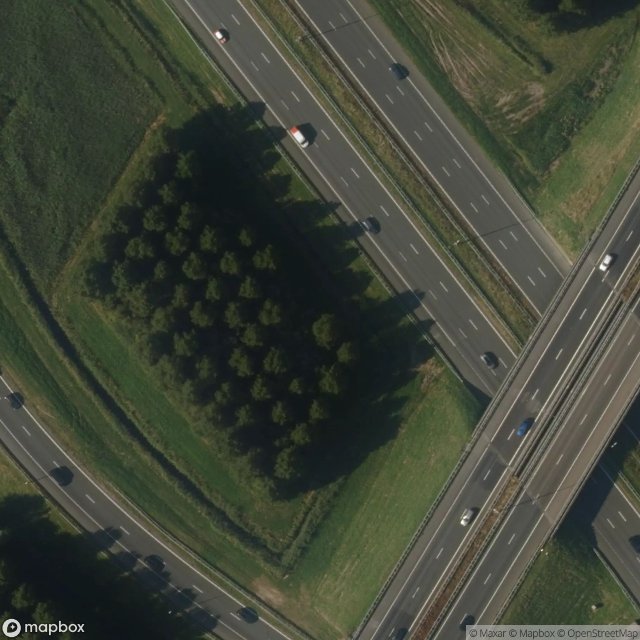
A2, Vianen
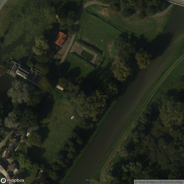
Acquoyseweg, Acquoy
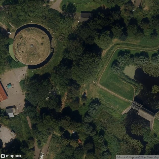
Bomvrij Gebouw B2
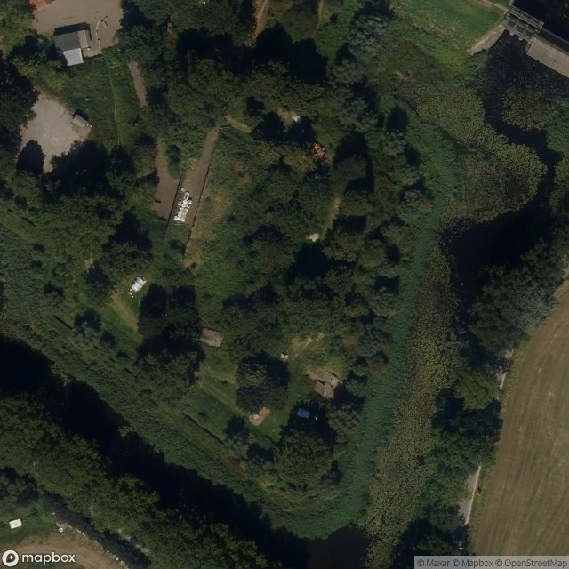
Bomvrij Gebouw B3

Dead Spot - Lange Jammer Farm - NEW OWNER
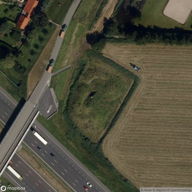
Diefdijk, Everdingen

Diefdijk, Zijderveld

Gebouw B1 Fort Everdingen
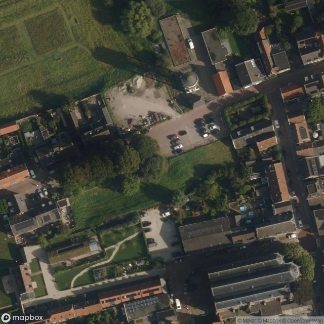
Hofplein, Vianen
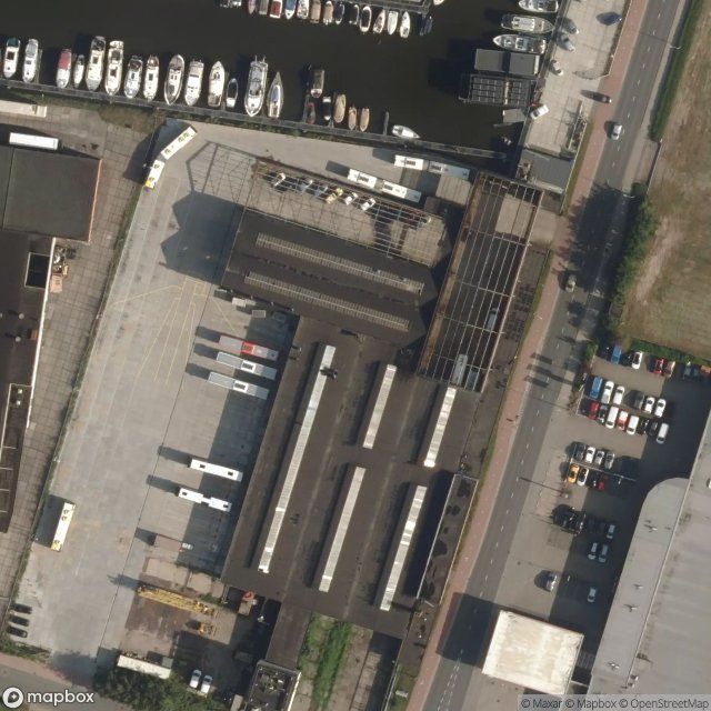
Steel Factory
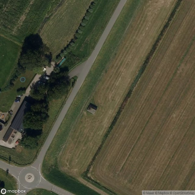
Traces of Mapped Silence
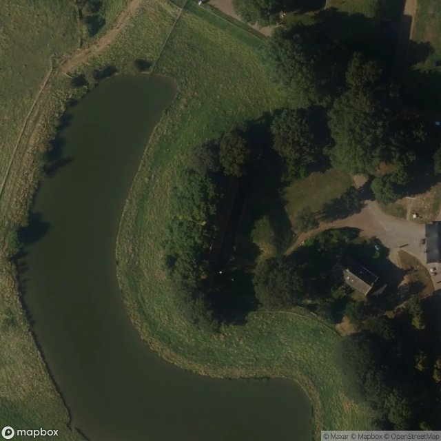
Voor Koningin en Vaderland, Schalkwijk
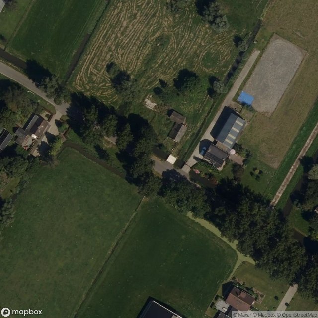
Zijderveldselaan, Zijderveld