Seia
Mappa Urbex Estrada Nacional 338-1, Loriga
SeiaGuardaPortogallo
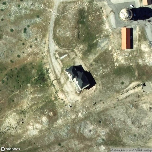
Estrada Nacional 338-1, Loriga - Coordonnées GPS Urbex
Obtenez la coordonnée GPS exacte de ce lieu abandonné situé dans le département Seia (Guarda, Portogallo). Spot urbex vérifié et géolocalisé.
Serra da Estrela (European Portuguese pronunciation: [ˈsɛʁɐ ðɐ (i)ʃˈtɾelɐ], lit. 'Star Mountain Range') is the highest mountain range in Continental Portugal. Together with the Serra da Lousã it is the westernmost constituent range of the Sistema Central and also one of the highest in the system. It includes mainland Portugal's highest point at 1,993 metres (6,539 feet) above mean sea level (although the summit of Mount Pico in the Portuguese Azores islands is higher).
0,90EUR
Paiement unique - accès à vie
Pagamento 100% sicuro
AMEX
Google Pay
stripe
Connessione SSL crittografata · Nessun dato bancario memorizzato
Ce qui est inclus
- Coordonnée GPS exacte
- Photo satellite du spot
- Accès immédiat après achat