Dudley
Mappa Urbex Traces of a Mapped Void
DudleyEnglandRegno Unito
Aggiornamenti a vita
Traces of a Mapped Void - Coordonnées GPS Urbex
Obtenez la coordonnée GPS exacte de ce lieu abandonné situé dans le département Dudley (England, Regno Unito). Spot urbex vérifié et géolocalisé.
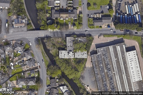
Brockmoor Halt was a small railway stop on the Wombourne Branch Line in West Midlands, England. It had very poor patronage and, along with the rest of the line's passenger stations, was closed just seven years after its introduction by the Great Western Railway in 1925. The halt served the settlement of Brockmoor, which is now part of the Brierley Hill area.
0,90EUR
Paiement unique - accès à vie
Pagamento 100% sicuro
AMEX
Google Pay
stripe
Connessione SSL crittografata · Nessun dato bancario memorizzato
Ce qui est inclus
- Coordonnée GPS exacte
- Photo satellite du spot
- Accès immédiat après achat