Lancashire
Mappa Urbex Clayton le Moors
LancashireEnglandRegno Unito
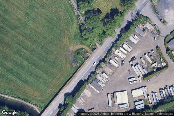
Clayton le Moors - Coordonnées GPS Urbex
Obtenez la coordonnée GPS exacte de ce lieu abandonné situé dans le département Lancashire (England, Regno Unito). Spot urbex vérifié et géolocalisé.
The A678 is a road in Lancashire, England, which runs between the towns of Blackburn and Padiham. The road was formerly the main route between Blackburn and Burnley before it was bypassed by the M65 motorway which opened in the 1980s. It currently runs between the A6078 Blackburn Town Centre Orbital Route and the A671 in Padiham, via the small towns of Rishton and Clayton-le-Moors, having been extended at the Blackburn end when the A677 was renumbered east of Blackburn.
0,90EUR
Paiement unique - accès à vie
Pagamento 100% sicuro
AMEX
Google Pay
stripe
Connessione SSL crittografata · Nessun dato bancario memorizzato
Ce qui est inclus
- Coordonnée GPS exacte
- Photo satellite du spot
- Accès immédiat après achat