Liverpool
Mappa Urbex Carnatic halls
LiverpoolEnglandRegno Unito
Aggiornamenti a vita
Carnatic halls - Coordonnées GPS Urbex
Obtenez la coordonnée GPS exacte de ce lieu abandonné situé dans le département Liverpool (England, Regno Unito). Spot urbex vérifié et géolocalisé.
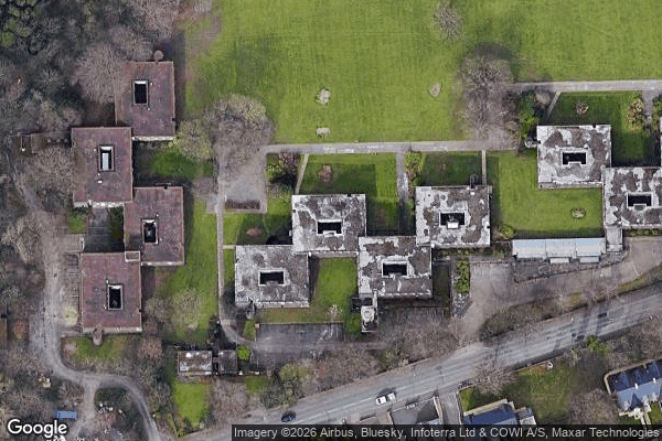
Carnatic Hall was an 18th-century mansion that was located in Mossley Hill, Liverpool, England. The house was built in 1779 for slave trader Peter Baker, who served as Mayor of Liverpool in 1795. Originally on the site of Mossley Hall (home of the Ogden family) it was renamed Carnatic Hall by Baker after the French East Indiaman Carnatic, which the privateer Mentor, which Baker owned, had captured in October 1778.
0,90EUR
Paiement unique - accès à vie
Pagamento 100% sicuro
AMEX
Google Pay
stripe
Connessione SSL crittografata · Nessun dato bancario memorizzato
Ce qui est inclus
- Coordonnée GPS exacte
- Photo satellite du spot
- Accès immédiat après achat