Rochdale
Mappa Urbex Littleborough
RochdaleEnglandRegno Unito
Aggiornamenti a vita
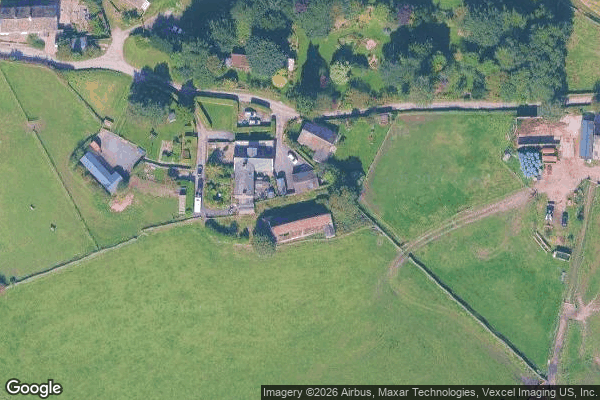
Littleborough - Coordonnées GPS Urbex
Obtenez la coordonnée GPS exacte de ce lieu abandonné situé dans le département Rochdale (England, Regno Unito). Spot urbex vérifié et géolocalisé.
Longden End Brook is a watercourse in Greater Manchester. It rises near Windy Hill, and flows down Rakewood Valley and underneath the M62 motorway at Rakewood Viaduct, before arriving at Hollingworth Lake, where it is the main feeder stream.
0,90EUR
Paiement unique - accès à vie
Pagamento 100% sicuro
AMEX
Google Pay
stripe
Connessione SSL crittografata · Nessun dato bancario memorizzato
Ce qui est inclus
- Coordonnée GPS exacte
- Photo satellite du spot
- Accès immédiat après achat