Shropshire
Mappa Urbex A483, Pant
ShropshireEnglandRegno Unito
Aggiornamenti a vita
A483, Pant - Coordonnées GPS Urbex
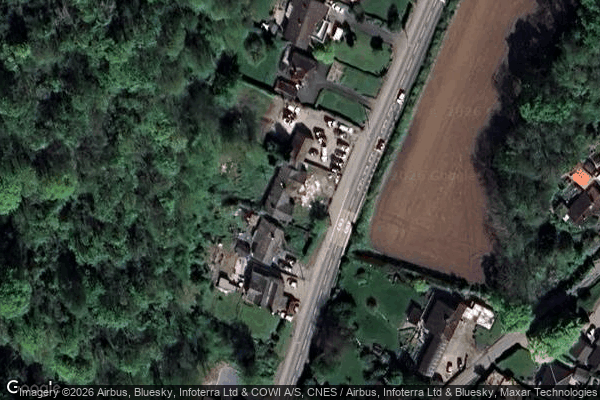
Obtenez la coordonnée GPS exacte de ce lieu abandonné situé dans le département Shropshire (England, Regno Unito). Spot urbex vérifié et géolocalisé.
Penygarreg Lane (or "Pen-y-garreg Lane") is a halt on the Cambrian Heritage Railways' line in Shropshire. It is on the northern edge of the village of Pant, north of the disused Pant station. Since 2021 trains stop at the constructed platform only to reverse back towards Llynclys and passengers cannot board or alight here.
0,90EUR
Paiement unique - accès à vie
Pagamento 100% sicuro
AMEX
Google Pay
stripe
Connessione SSL crittografata · Nessun dato bancario memorizzato
Ce qui est inclus
- Coordonnée GPS exacte
- Photo satellite du spot
- Accès immédiat après achat