Mappa Urbex Comberow Incline Winding House
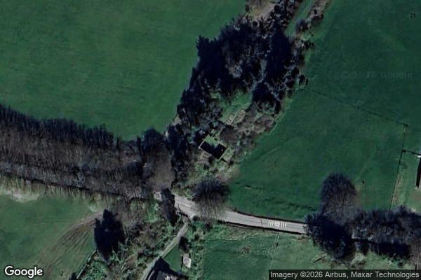
Comberow Incline Winding House - Coordonnées GPS Urbex
Obtenez la coordonnée GPS exacte de ce lieu abandonné situé dans le département Somerset (England, Regno Unito). Spot urbex vérifié et géolocalisé.
Brendon Hill (occasionally referred to as "Raleigh's Cross") was an intermediate station on the West Somerset Mineral Railway (WSMR), which was built primarily to carry iron ore from mines to Watchet harbour in Somerset, England. The line was unconnected to any other, though it passed under what is now the West Somerset Railway south of the village of Watchet. The station was located at the top of the line's most striking feature - a three quarters of a mile, rope-hauled incline at a gradient of
Paiement unique - accès à vie
Pagamento 100% sicuro
Connessione SSL crittografata · Nessun dato bancario memorizzato
Ce qui est inclus
- Coordonnée GPS exacte
- Photo satellite du spot
- Accès immédiat après achat