Mappa Urbex The Imported Digital Void
Aggiornamenti a vita
The Imported Digital Void - Coordonnées GPS Urbex
Obtenez la coordonnée GPS exacte de ce lieu abandonné situé dans le département Thurrock (England, Regno Unito). Spot urbex vérifié et géolocalisé.
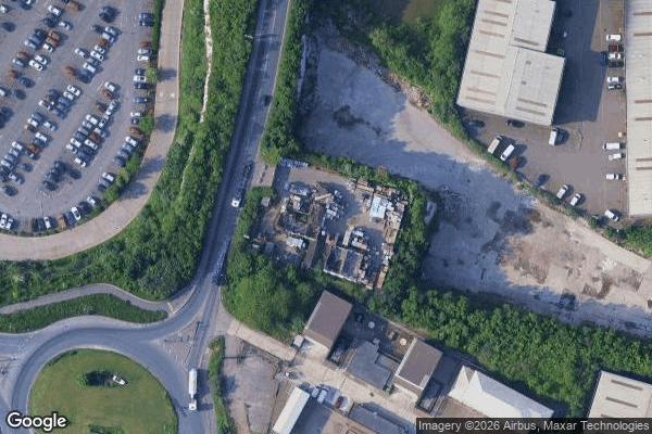
High House is the collective name for a group of historic buildings in Purfleet, Thurrock, Essex, which was used as a farm for hundreds of years, with a Grade II listed house and barn, but with the addition of one of the best dovecotes (dove houses) in Southern England, which is a Scheduled Ancient Monument and notable for its nest box array. This property includes the house, coachman's cottage, chaise house, stable, granary, barn, workshop, cart sheds, dovecote, and inner and outer walled garde
Paiement unique - accès à vie
Pagamento 100% sicuro
Connessione SSL crittografata · Nessun dato bancario memorizzato
Ce qui est inclus
- Coordonnée GPS exacte
- Photo satellite du spot
- Accès immédiat après achat