Mappa Urbex A76
Aggiornamenti a vita
A76 - Coordonnées GPS Urbex
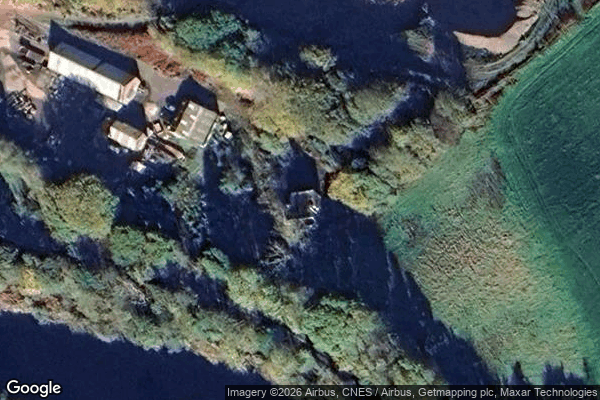
Obtenez la coordonnée GPS exacte de ce lieu abandonné situé dans le département Dumfries And Galloway (Scotland, Regno Unito). Spot urbex vérifié et géolocalisé.
Barburgh Mill is a hamlet composed of an old lint mill, later extended as a woolen mill and associated buildings, which lies north of Auldgirth on the A76 on the route to Closeburn, in Dumfriesshire, Closeburn Parish, in Dumfries and Galloway, south-west Scotland. Its original nucleus was the old mill with associated buildings, the smithy, toll house and the miller's and workers' dwellings. The site features the A76 that runs nearby, the River Nith and the Lake Burn that once powered the mill vi
Paiement unique - accès à vie
Pagamento 100% sicuro
Connessione SSL crittografata · Nessun dato bancario memorizzato
Ce qui est inclus
- Coordonnée GPS exacte
- Photo satellite du spot
- Accès immédiat après achat