Mappa Urbex Barnstable
15 luoghi abbandonati a Barnstable

15
luoghi
Pagamento unico - accesso a vita
Aggiornamenti a vita
Temi inclusi in questo pacchetto
- Ferrovie abbandonate
- Fari
- Rovine
- Stazioni
Tutti i luoghi abbandonati di Barnstable
15 coordinate GPS verificate nel dipartimento di Barnstable, Massachusetts, Stati Uniti.
Cerchi luoghi abbandonati a Barnstable, Massachusetts, Stati Uniti? Urbex Maps offre 15 coordinate GPS verificate di edifici abbandonati in questa zona, tra cui Ferrovie abbandonate, Fari, Rovine, Stazioni.
15
spot verificati
GPS
Google Maps, Waze
settembre 2026
ultimo aggiornamento
Dove trovare luoghi abbandonati a Barnstable?
I luoghi abbandonati a Barnstable si trovano tramite la mappa urbex interattiva di Urbex Maps con 15 coordinate GPS verificate. Le categorie principali sono Ferrovie abbandonate, Fari, Rovine, Stazioni.
Tipi di luoghi abbandonati a Barnstable
- Ferrovie abbandonate
- Fari
- Rovine
- Stazioni
Spots a Barnstable
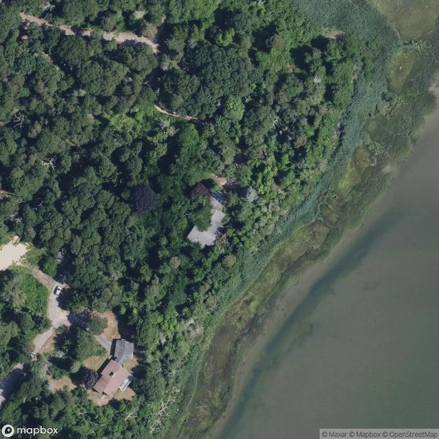
Eastham

Eastham Train Depot and Water Tower, Eastham
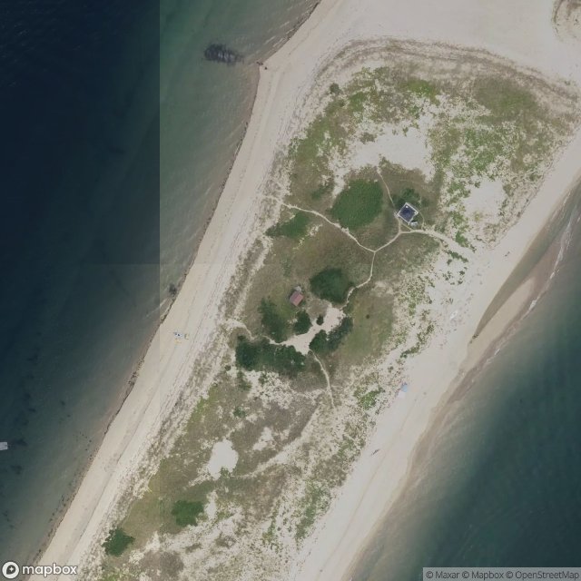
MacMillan Wharf, Provincetown
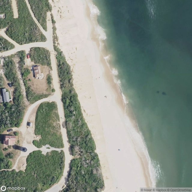
Original Location of Nauset Lighthouse Prior to 1996
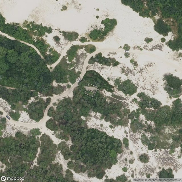
Peaked Hill Bars Lifesaving Station

Pleasant Lake, Harwich
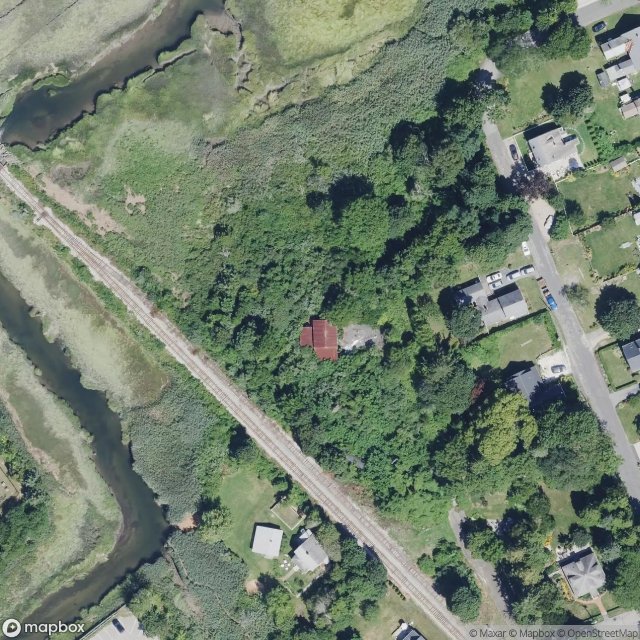
Sandwich
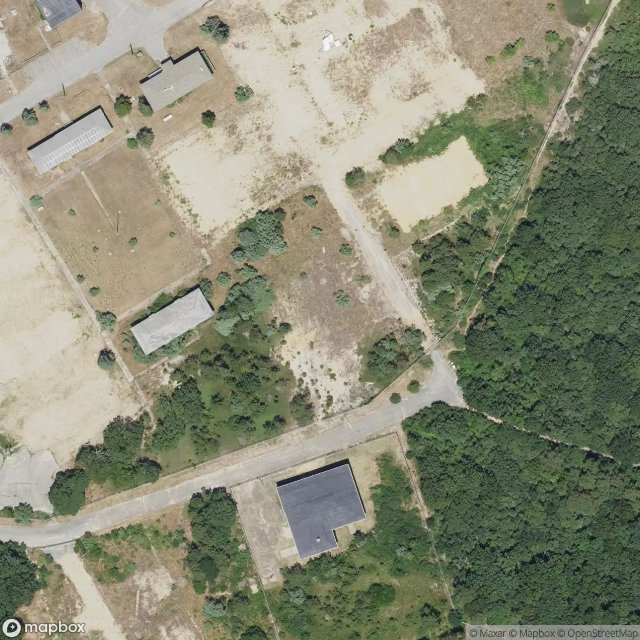
Seacliff Way, Truro

The Imported Ghost Vector

Tomahawk Trail, Eastham

Tomahawk Trail, Eastham
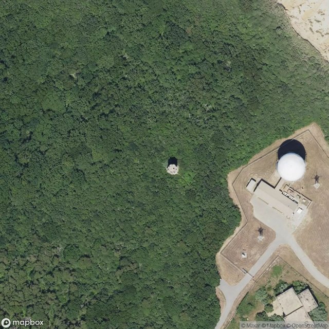
Traces of Imported Geometry
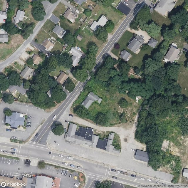
West Yarmouth

Wilson Boulevard, Truro
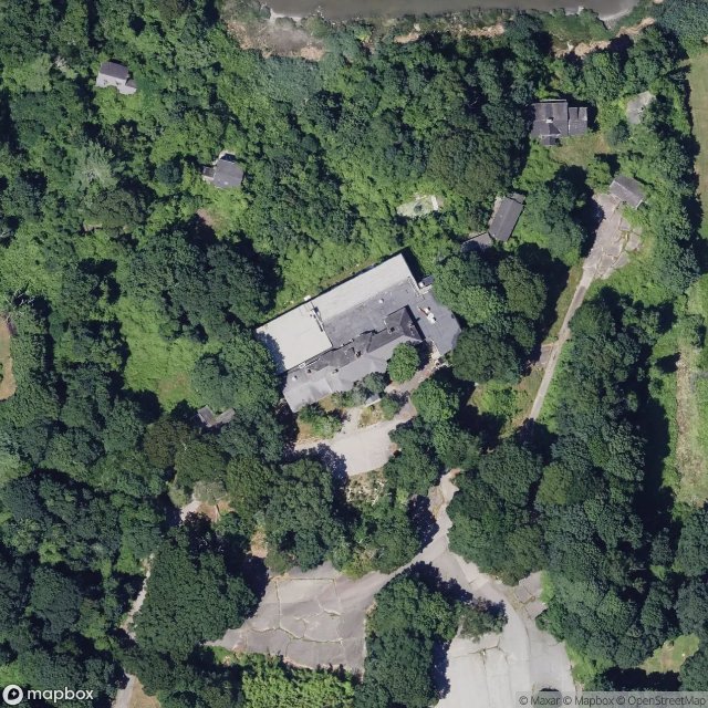
Yarmouth Port, Yarmouth