Urbex Map Lankatilaka Temple
Regular lifetime updates
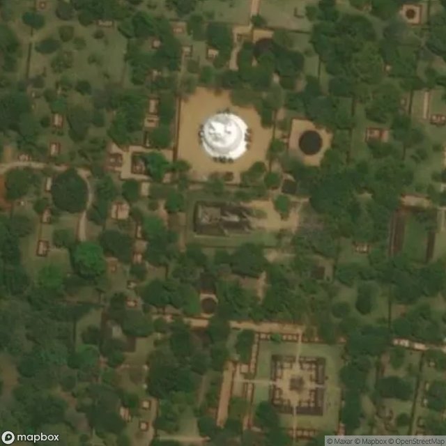
Lankatilaka Temple - Coordonnées GPS Urbex
Obtenez la coordonnée GPS exacte de ce lieu abandonné situé dans le département Thamankaduwa (Polonnaruwa, Sri Lanka). Spot urbex vérifié et géolocalisé.
The Gal Vihara (Sinhala: ගල් විහාරය, lit. 'rock monastery'), and known originally as the Uttararama (Sinhala: උත්තරාරාමය, lit. 'the great monastery'), is a rock temple of the Buddha situated in the ancient city Polonnaruwa, the capital of the ancient Kingdom of Polonnaruwa, now present-day Polonnaruwa, in North Central Province, Sri Lanka. It was fashioned in the 12th century by King Parakramabahu I. The central feature of the temple is four rock relief statues of the Buddha, which have been car
Paiement unique - accès à vie
100% Secure Checkout
SSL encrypted · No banking data stored
Ce qui est inclus
- Coordonnée GPS exacte
- Photo satellite du spot
- Accès immédiat après achat