Innsbruck Land
Urbex Map Zeigerweg, Schönberg im Stubaital
Innsbruck LandTirolAustria
Regular lifetime updates
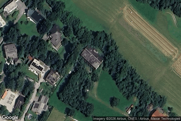
Zeigerweg, Schönberg im Stubaital - Coordonnées GPS Urbex
Obtenez la coordonnée GPS exacte de ce lieu abandonné situé dans le département Innsbruck Land (Tirol, Austria). Spot urbex vérifié et géolocalisé.
Schönberg im Stubaital (German pronunciation: [ˈʃøːnˌbɛʁk ʔɪm ˈʃtuːbaɪˌtaːl], lit. 'Schönberg in the Stubai Valley') is a municipality in the district of Innsbruck-Land, Tyrol, Austria. It is 9 km (5.6 mi) south of Innsbruck at the entrance of the Stubaital. The village was mentioned as “Schönenberge” for the first time in 1180.
0,90EUR
Paiement unique - accès à vie
100% Secure Checkout
AMEX
Google Pay
stripe
SSL encrypted · No banking data stored
Ce qui est inclus
- Coordonnée GPS exacte
- Photo satellite du spot
- Accès immédiat après achat