Karlovy Vary
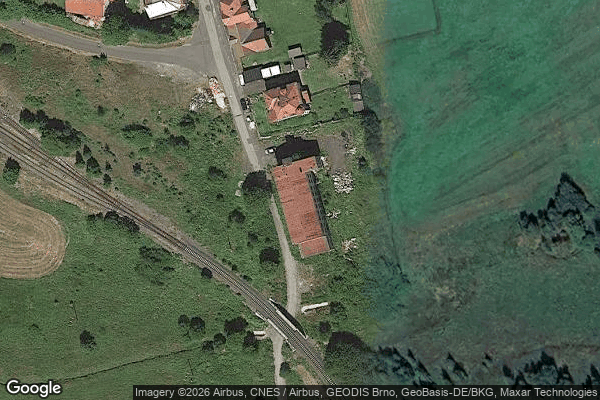
Urbex Map Jiráskova, Horní Blatná
Karlovy VaryKarlovarskyCzech Republic
Regular lifetime updates
Jiráskova, Horní Blatná - Coordonnées GPS Urbex
Obtenez la coordonnée GPS exacte de ce lieu abandonné situé dans le département Karlovy Vary (Karlovarsky, Czech Republic). Spot urbex vérifié et géolocalisé.
Horní Blatná (German: Bergstadt Platten) is a town in Karlovy Vary District in the Karlovy Vary Region of the Czech Republic. It has about 400 inhabitants. The town is historically associated with tin mining and is located in the Ore Mountain Mining Region, which is a UNESCO World Heritage Site.
0,90EUR
Paiement unique - accès à vie
100% Secure Checkout
AMEX
Google Pay
stripe
SSL encrypted · No banking data stored
Ce qui est inclus
- Coordonnée GPS exacte
- Photo satellite du spot
- Accès immédiat après achat