Urbex Map tunel Opevnění, Trutnov
Regular lifetime updates
- Bunkers
tunel Opevnění, Trutnov - Coordonnées GPS Urbex
Obtenez la coordonnée GPS exacte de ce lieu abandonné situé dans le département Trutnov (Kralovehradecky, Czech Republic). Spot urbex vérifié et géolocalisé.
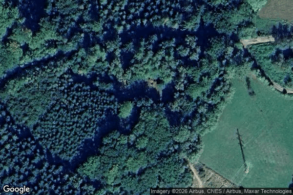
[OSM] G1/100/A-140 Type: node historic: yes military: bunker --- [OSM] G1/101/A-180 Type: node historic: yes military: bunker --- [OSM] G1/102/A-120 Type: node historic: yes military: bunker --- [OSM] G1/284/A-140 Type: node historic: yes military: bunker --- [OSM] G1/285/A-220 Type: node historic: yes military: bunker --- [OSM] G1/286/E1 Type: node historic: yes military: bunker --- [OSM] G1/287/A-120 Type: node historic: yes military: bunker --- [OSM] G1/99/A-120 Type: node historic: yes military: bunker --- [OSM] G2/98/A-180 Type: node historic: yes military: bunker --- [OSM] T-S 61 Type: node historic: yes military: bunker
Paiement unique - accès à vie
100% Secure Checkout
SSL encrypted · No banking data stored
Ce qui est inclus
- Coordonnée GPS exacte
- Photo satellite du spot
- Accès immédiat après achat