Sumperk
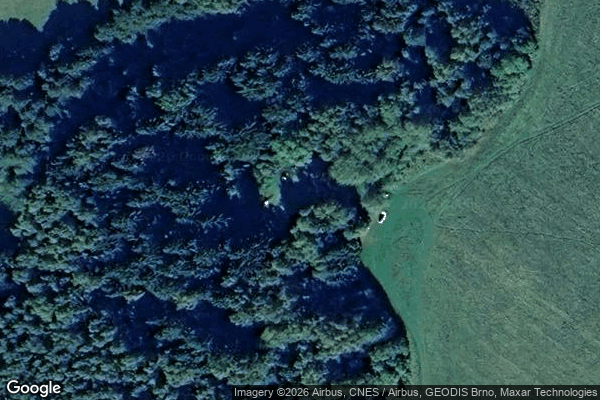
Mappa Urbex 31227, Červený Potok
SumperkOlomouckyRepubblica Ceca
Aggiornamenti a vita
- Bunker
- Musei
31227, Červený Potok - Coordonnées GPS Urbex
Obtenez la coordonnée GPS exacte de ce lieu abandonné situé dans le département Sumperk (Olomoucky, Repubblica Ceca). Spot urbex vérifié et géolocalisé.
[OSM] Pěchotní srub K-S 5 U potoka Type: node historic: yes military: bunker --- [OSM] XXXVI/104/A-140 Z Type: node historic: yes ruins: yes military: bunker --- [OSM] XXXVI/48a/A-140 Z Type: node historic: yes military: bunker --- [OSM] XXXVI/49/A-120 Type: node historic: yes military: bunker --- [OSM] XXXVI/50/A-120 Z Type: node historic: yes military: bunker --- [OSM] XXXVI/51/A-180 Z Type: node historic: yes military: bunker
0,90EUR
Paiement unique - accès à vie
Pagamento 100% sicuro
AMEX
Google Pay
stripe
Connessione SSL crittografata · Nessun dato bancario memorizzato
Ce qui est inclus
- Coordonnée GPS exacte
- Photo satellite du spot
- Accès immédiat après achat