Tachov
Urbex Map Mlýn Spodní dlouhý tah (zříc.)
TachovPlzenskyCzech Republic
Regular lifetime updates
Mlýn Spodní dlouhý tah (zříc.) - Coordonnées GPS Urbex
Obtenez la coordonnée GPS exacte de ce lieu abandonné situé dans le département Tachov (Plzensky, Czech Republic). Spot urbex vérifié et géolocalisé.
[OSM] E-22/15/B2-80 Z Type: node historic: yes military: bunker --- [OSM] VII.a/11/B Type: node historic: yes military: bunker
0,90EUR
Paiement unique - accès à vie
100% Secure Checkout
AMEX
Google Pay
stripe
SSL encrypted · No banking data stored
Ce qui est inclus
- Coordonnée GPS exacte
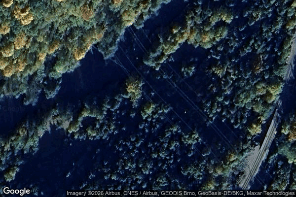
- Photo satellite du spot
- Accès immédiat après achat