Urbex Map Traced in Digital Dust
Regular lifetime updates
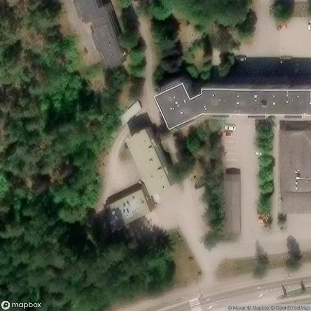
Traced in Digital Dust - Coordonnées GPS Urbex
Obtenez la coordonnée GPS exacte de ce lieu abandonné situé dans le département Eastern Uusimaa (Southern Finland, Finland). Spot urbex vérifié et géolocalisé.
Söderkulla (Swedish pronunciation: [ˈsøːdərˌkulːɑ]; literally meaning the "south hill") is a village in the southern part of the Sipoo municipality in Uusimaa, Finland. It is located along the Regional road 170 and the Porvoo Highway (E18), and about 10 kilometres (6.2 mi) north of Söderkulla is Nikkilä, the administrative center of Sipoo. The distance to the center of Helsinki from Söderkulla is about 30 kilometres (19 mi) and to the center of Porvoo about 24 kilometres (15 mi).
Paiement unique - accès à vie
100% Secure Checkout
SSL encrypted · No banking data stored
Ce qui est inclus
- Coordonnée GPS exacte
- Photo satellite du spot
- Accès immédiat après achat