Eure-et-Loir
Urbex Map Rue de Saint-Laurent, Thimert-Gâtelles
Eure-et-LoirCentre-Val de LoireFrance
Regular lifetime updates
Rue de Saint-Laurent, Thimert-Gâtelles - Coordonnées GPS Urbex
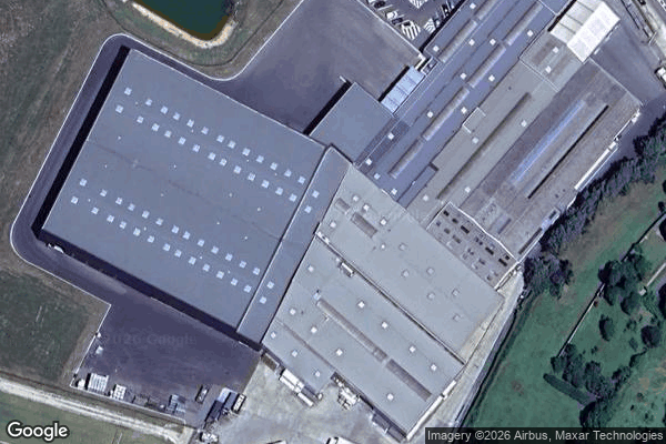
Obtenez la coordonnée GPS exacte de ce lieu abandonné situé dans le département Eure-et-Loir (Centre-Val de Loire, France). Spot urbex vérifié et géolocalisé.
Thimert-Gâtelles (French pronunciation: [timɛʁ ɡatɛl]) is a commune in the Eure-et-Loir department in northern France. It was the site of a royal castle until 1058, when it was taken by the Normans. Between 1058 and 1060, it was besieged by the king of France.
0,90EUR
Paiement unique - accès à vie
100% Secure Checkout
AMEX
Google Pay
stripe
SSL encrypted · No banking data stored
Ce qui est inclus
- Coordonnée GPS exacte
- Photo satellite du spot
- Accès immédiat après achat