Urbex Map Sankt Veit Kapelle, Istein
Regular lifetime updates
- Bunkers
- Forts
- Ruins
- Military
Sankt Veit Kapelle, Istein - Coordonnées GPS Urbex
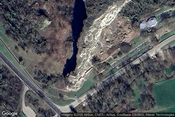
Obtenez la coordonnée GPS exacte de ce lieu abandonné situé dans le département Lorrach (Baden Wurttemberg, Germany). Spot urbex vérifié et géolocalisé.
[OSM] Isteiner Klotz Type: node historic: fort ruins: yes --- [OSM] Bunkerruine Type: node historic: yes ruins: yes military: bunker --- [OSM] Feste Istein, Aussenwerk Type: node historic: yes ruins: yes military: bunker --- [OSM] Turm Dollmann Type: node historic: yes ruins: yes military: bunker --- [OSM] 6-Scharten Turm WH 3167 Type: node historic: yes military: bunker --- [OSM] WH3165 Type: node description: Westwall historic: yes ruins: yes military: bunker --- [OSM] WH5835 Type: node description: Westwall historic: yes ruins: yes military: bunker --- [OSM] WH5949 Type: node description: Westwall historic: yes ruins: yes military: bunker --- [OSM] Bunker WH3163 Type: node historic: yes ruins: yes military: bunker
Paiement unique - accès à vie
100% Secure Checkout
SSL encrypted · No banking data stored
Ce qui est inclus
- Coordonnée GPS exacte
- Photo satellite du spot
- Accès immédiat après achat