Rems Murr Kreis
Urbex Map Alter Dorfbrunnen
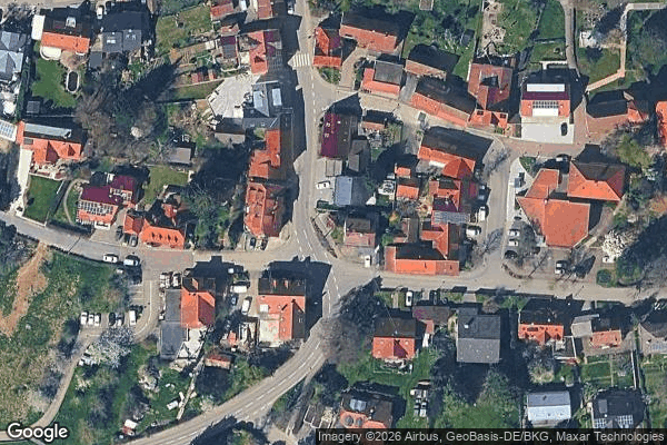
Rems Murr KreisBaden WurttembergGermany
Regular lifetime updates
Alter Dorfbrunnen - Coordonnées GPS Urbex
Obtenez la coordonnée GPS exacte de ce lieu abandonné situé dans le département Rems Murr Kreis (Baden Wurttemberg, Germany). Spot urbex vérifié et géolocalisé.
The Buocher Höhe is a wooded region and hill range up to 519.6 m above sea level (NN), around the village of Buoch in the county of Rems-Murr-Kreis in the German state of Baden-Württemberg. The Buocher Höhe is usually seen as the area on the southwestern edge of the forested upland of Berglen, which is sometimes viewed as an independent region.
0,90EUR
Paiement unique - accès à vie
100% Secure Checkout
AMEX
Google Pay
stripe
SSL encrypted · No banking data stored
Ce qui est inclus
- Coordonnée GPS exacte
- Photo satellite du spot
- Accès immédiat après achat