Mapa Urbex Deggendorf
35 lugares abandonados en Deggendorf

35
spots
Pago único - acceso de por vida
Pago 100% seguro
Conexión SSL cifrada · Sin datos bancarios almacenados
Actualizaciones de por vida
Temas incluidos en este pack
- Casas abandonadas
- Granjas
- Ruinas
- Hoteles abandonados
- Puertos
Todos los lugares abandonados de Deggendorf
35 coordenadas GPS verificadas en el departamento de Deggendorf, Bayern, Alemania.
Buscas lugares abandonados en Deggendorf, Bayern, Alemania? Urbex Maps ofrece 35 coordenadas GPS verificadas de edificios abandonados en esta zona, incluyendo Casas abandonadas, Granjas, Ruinas, Hoteles abandonados, Puertos.
35
spots verificados
GPS
Google Maps, Waze
julio de 2026
ultima actualizacion
Donde encontrar lugares abandonados en Deggendorf?
Los lugares abandonados en Deggendorf se encuentran mejor a traves del mapa urbex interactivo de Urbex Maps con 35 coordenadas GPS verificadas.
Tipos de lugares abandonados en Deggendorf
- Casas abandonadas
- Granjas
- Ruinas
- Hoteles abandonados
- Puertos
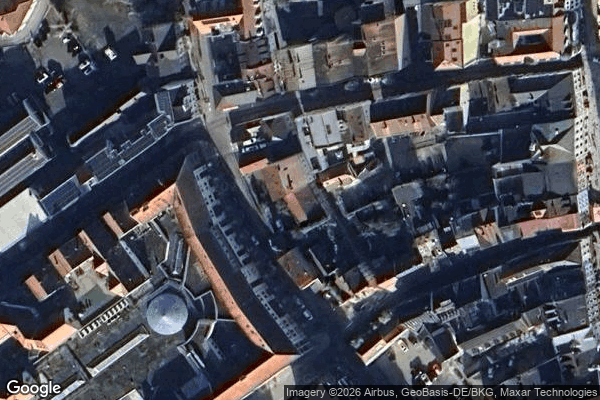
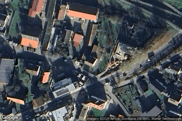
Spots en Deggendorf
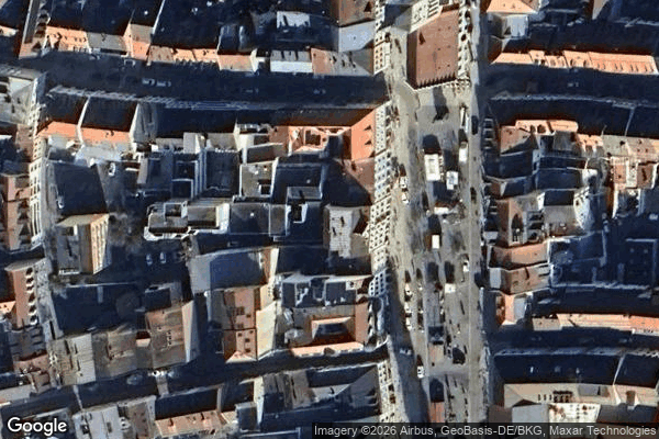
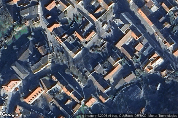
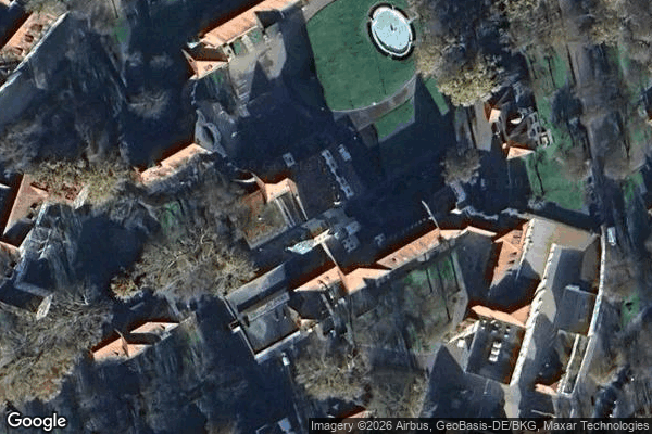
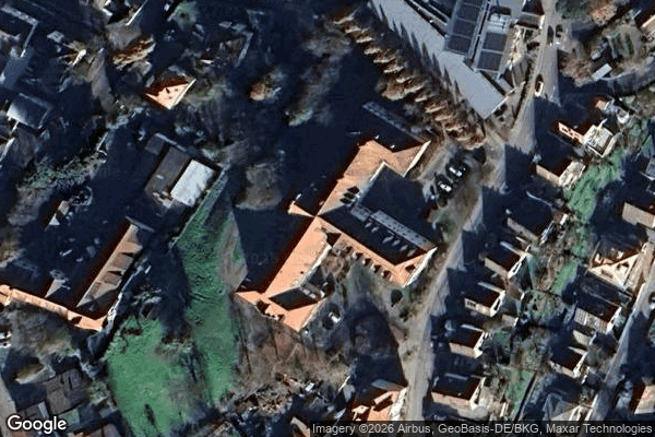
Altstadtviertel, Deggendorf

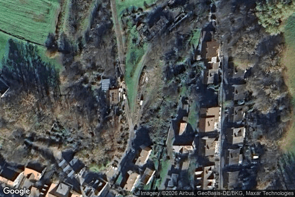
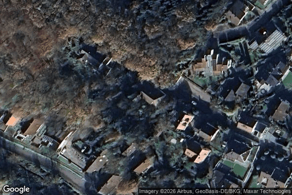
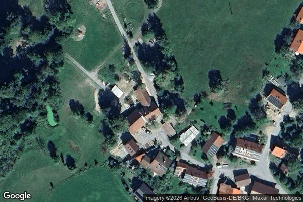
Bernried

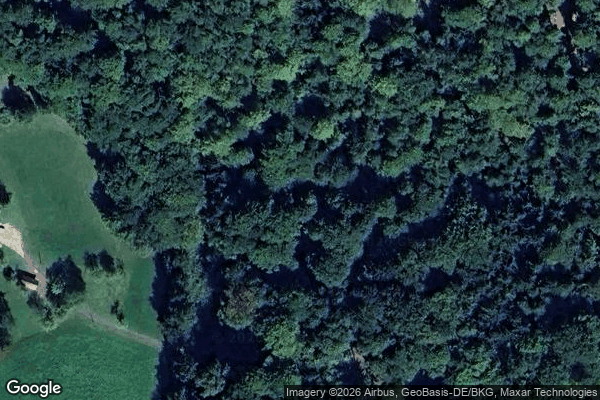
Coordinates Plotted in Shadow

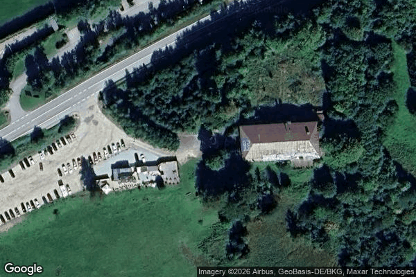
Dead Spot - Farm Skilift / Skilift Haus
Dead Spot - Mountain hotel / Berghotel

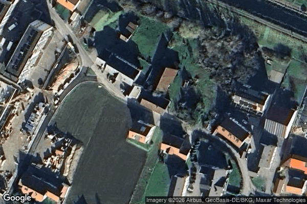
Deggenauer Straße, Gailberg
Geometry of Forgotten Origin

Geßnach, Wulreiching
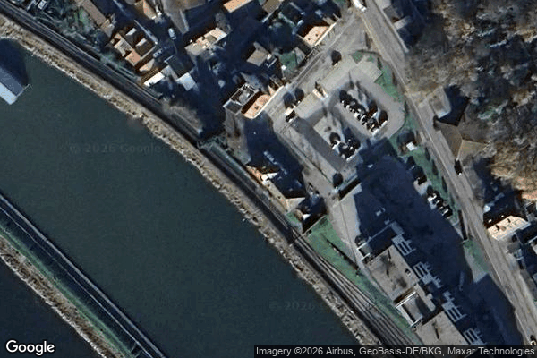
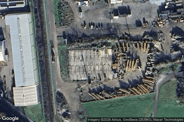
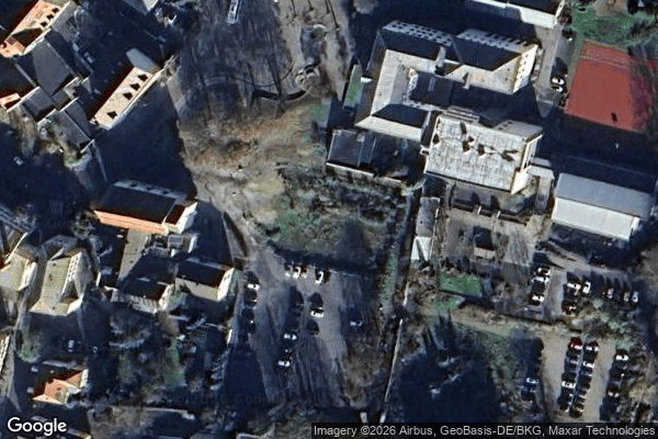
Güterbahnhof Deggendorf Hafen
Hall of Graffiti / Halle der Graffiti
Hirzau, Deggendorf
Immersbühl, Deggendorf

Immersbühl, Deggendorf

Klotzing, Großfilling
Luitpoldplatz, Osterhofen
Padling, Sondorf
Plattling

Schollnach

Seebach

Shadows in the Geometry
Shadows of the Grid
Shadows of the Silent Perimeter

Ski lift House 3 / Skilift Haus 3

Stadt-Au, Deggendorf

Stadt-Au, Deggendorf
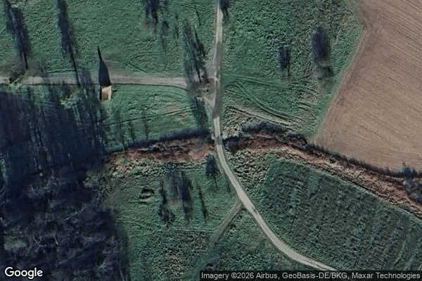
Städtisches Elisabethenheim, Gailberg
Tattenberg
The Geometry of Absence
The Geometry of Silence
The Latent Coordinate
Trace of the Imported Void
Traces of the Grid

Ufersbach, Gailberg

Vertices of the Forgotten

Widstatt, Arzting