Urbex Map Furth Kreisfreie Stadt
13 abandoned places in Furth Kreisfreie Stadt

13
spots
One-time payment - lifetime access
100% Secure Checkout
SSL encrypted · No banking data stored
Regular lifetime updates
All abandoned places in Furth Kreisfreie Stadt
13 verified GPS coordinates in the department of Furth Kreisfreie Stadt, Bayern, Germany.
Looking for abandoned places in Furth Kreisfreie Stadt, Bayern, Germany? Urbex Maps offers 13 verified GPS coordinates of abandoned buildings in this area, including .
13
verified spots
GPS
Google Maps, Waze
July 2026
last update
Where to find abandoned places in Furth Kreisfreie Stadt?
The best way to find abandoned places in Furth Kreisfreie Stadt is through the interactive urbex map on Urbex Maps with 13 verified GPS coordinates. Top categories are .
Spots in Furth Kreisfreie Stadt
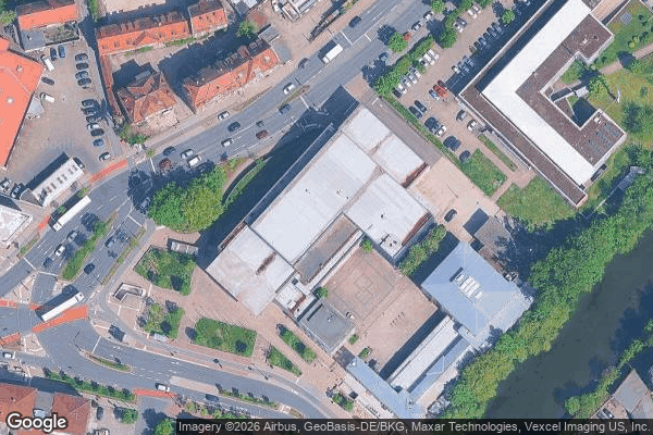
Altstadt, Innenstadt, Fürth

Altstadt, Innenstadt, Fürth

Altstadt, Innenstadt, Fürth

Golfpark, Fürth

Golfpark, Fürth
Golfpark, Fürth

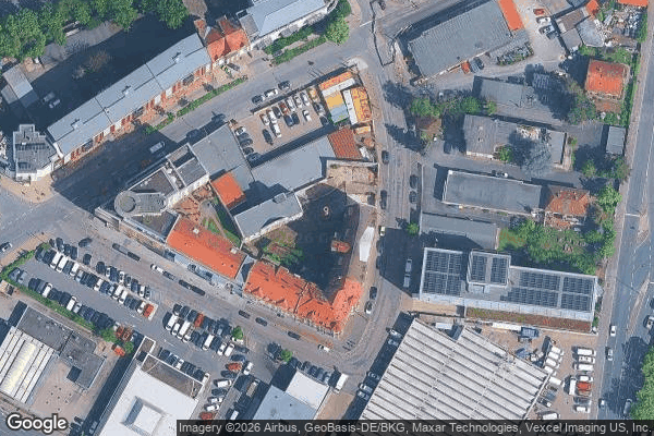
Ronhof, Kronach, Fürth

Ronhof, Kronach, Fürth

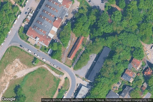
Sack, Braunsbach, Bislohe, Steinach, Fürth
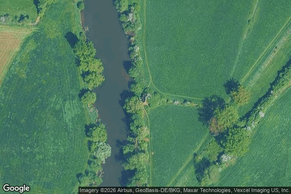
Stadtpark, Stadtgrenze, Fürth

Traces of the Silent Grid
Vach, Flexdorf, Ritzmannshof, Fürth

Waldheim Sonnenland, Fürth