Borken
Urbex Map Enscheder Straße, Gronau
BorkenNordrhein WestfalenGermany
Regular lifetime updates
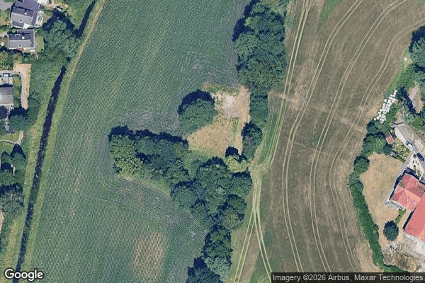
Enscheder Straße, Gronau - Coordonnées GPS Urbex
Obtenez la coordonnée GPS exacte de ce lieu abandonné situé dans le département Borken (Nordrhein Westfalen, Germany). Spot urbex vérifié et géolocalisé.
Glanerbrug [ɣlaːnər'brʏx] is a town east of the city of Enschede, the Netherlands. It is close to the border with Germany, formed by the stream Glanerbeek, and the city of Gronau, North Rhine-Westphalia. The name Glanerbrug is derived from the bridge (Dutch: brug) over the Glanerbeek stream.
0,90EUR
Paiement unique - accès à vie
100% Secure Checkout
AMEX
Google Pay
stripe
SSL encrypted · No banking data stored
Ce qui est inclus
- Coordonnée GPS exacte
- Photo satellite du spot
- Accès immédiat après achat