Hoxter
Urbex Map Louis-Flotho-Straße, Höxter
HoxterNordrhein WestfalenGermany
Regular lifetime updates
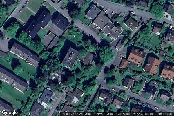
Louis-Flotho-Straße, Höxter - Coordonnées GPS Urbex
Obtenez la coordonnée GPS exacte de ce lieu abandonné situé dans le département Hoxter (Nordrhein Westfalen, Germany). Spot urbex vérifié et géolocalisé.
Höxter (German pronunciation: [ˈhœkstɐ] ) is a town in eastern North Rhine-Westphalia, Germany on the left bank of the river Weser, 52 km (32 miles) north of Kassel. It lies the heart of the Weser Uplands, and is the seat of the Höxter district. The district of Höxter has a population of 30,000, with the city itself making up around half of the population.
0,90EUR
Paiement unique - accès à vie
100% Secure Checkout
AMEX
Google Pay
stripe
SSL encrypted · No banking data stored
Ce qui est inclus
- Coordonnée GPS exacte
- Photo satellite du spot
- Accès immédiat après achat