Koln
Urbex Map Grube Galilei
KolnNordrhein WestfalenGermany
Regular lifetime updates
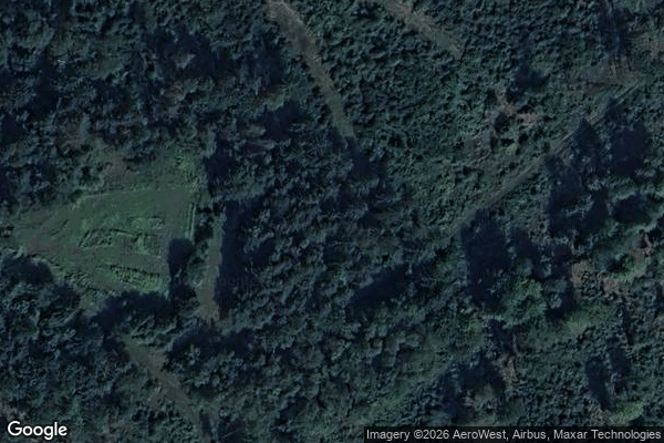
Grube Galilei - Coordonnées GPS Urbex
Obtenez la coordonnée GPS exacte de ce lieu abandonné situé dans le département Koln (Nordrhein Westfalen, Germany). Spot urbex vérifié et géolocalisé.
Monte Troodelöh is the highest point in the municipal area of the city of Cologne. It lies in the Rath/Heumar district, approximately 1,250 metres south of the A4 at Wolfsweg between the intersection of Pionier-Hütten-Weg and the Brück-Forsbacher Weg.
0,90EUR
Paiement unique - accès à vie
100% Secure Checkout
AMEX
Google Pay
stripe
SSL encrypted · No banking data stored
Ce qui est inclus
- Coordonnée GPS exacte
- Photo satellite du spot
- Accès immédiat après achat