Wuppertal
Urbex Map Scharpenacken, Wuppertal
WuppertalNordrhein WestfalenGermany
Regular lifetime updates
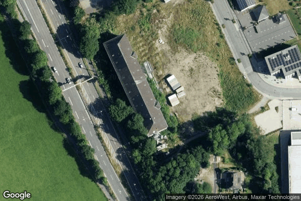
Scharpenacken, Wuppertal - Coordonnées GPS Urbex
Obtenez la coordonnée GPS exacte de ce lieu abandonné situé dans le département Wuppertal (Nordrhein Westfalen, Germany). Spot urbex vérifié et géolocalisé.
The Lichtscheid is the highest hill of the German city of Wuppertal. It has an elevation of 350 metres (1,150 ft).
0,90EUR
Paiement unique - accès à vie
100% Secure Checkout
AMEX
Google Pay
stripe
SSL encrypted · No banking data stored
Ce qui est inclus
- Coordonnée GPS exacte
- Photo satellite du spot
- Accès immédiat après achat