Kusel
Urbex Map Untere Mühle
KuselRheinland PfalzGermany
Regular lifetime updates
- Mills
- Abandoned factories
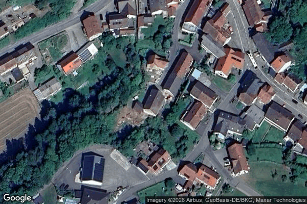
Untere Mühle - Coordonnées GPS Urbex
Obtenez la coordonnée GPS exacte de ce lieu abandonné situé dans le département Kusel (Rheinland Pfalz, Germany). Spot urbex vérifié et géolocalisé.
Eßweiler (German pronunciation: [ˈɛsvaɪlɐ], with a short E; also Essweiler) is an Ortsgemeinde – a municipality belonging to a Verbandsgemeinde, a kind of collective municipality – in the Kusel district in Rhineland-Palatinate, Germany. It belongs to the Verbandsgemeinde Lauterecken-Wolfstein.
0,90EUR
Paiement unique - accès à vie
100% Secure Checkout
AMEX
Google Pay
stripe
SSL encrypted · No banking data stored
Ce qui est inclus
- Coordonnée GPS exacte
- Photo satellite du spot
- Accès immédiat après achat