Zweibrucken
Urbex Map Ixheimer Straße, Zweibrücken
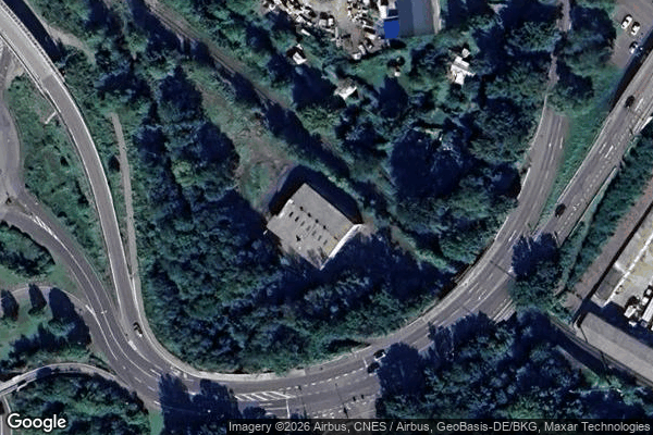
ZweibruckenRheinland PfalzGermany
Regular lifetime updates
Ixheimer Straße, Zweibrücken - Coordonnées GPS Urbex
Obtenez la coordonnée GPS exacte de ce lieu abandonné situé dans le département Zweibrucken (Rheinland Pfalz, Germany). Spot urbex vérifié et géolocalisé.
The Karlskirche is a church in Zweibrücken built in 1715, destroyed in 1945, rebuilt in 1970. It is one of two landmarks of the town with Alexander's Church (Alexanderskirche, built 1493–1514). It was court church from 1733 to 1858.
0,90EUR
Paiement unique - accès à vie
100% Secure Checkout
AMEX
Google Pay
stripe
SSL encrypted · No banking data stored
Ce qui est inclus
- Coordonnée GPS exacte
- Photo satellite du spot
- Accès immédiat après achat