Urbex Map Eichsfeld
22 abandoned places in Eichsfeld

22
spots
One-time payment - lifetime access
100% Secure Checkout
SSL encrypted · No banking data stored
Regular lifetime updates
Themes included in this pack
- Military
- Bunkers
All abandoned places in Eichsfeld
22 verified GPS coordinates in the department of Eichsfeld, Thuringen, Germany.
Looking for abandoned places in Eichsfeld, Thuringen, Germany? Urbex Maps offers 22 verified GPS coordinates of abandoned buildings in this area, including Military, Bunkers.
22
verified spots
GPS
Google Maps, Waze
July 2026
last update
Where to find abandoned places in Eichsfeld?
The best way to find abandoned places in Eichsfeld is through the interactive urbex map on Urbex Maps with 22 verified GPS coordinates. Top categories are Military, Bunkers.
Types of abandoned places in Eichsfeld
- Military
- Bunkers
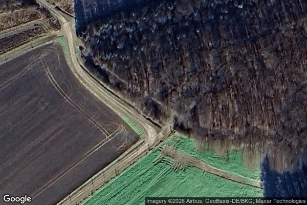
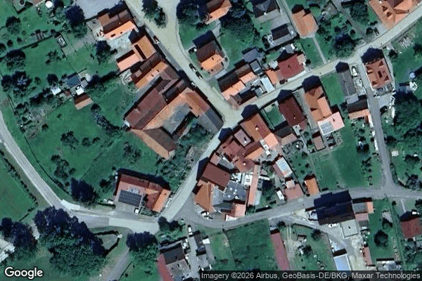
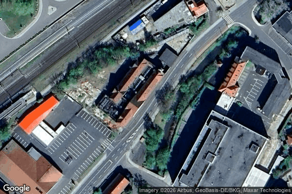
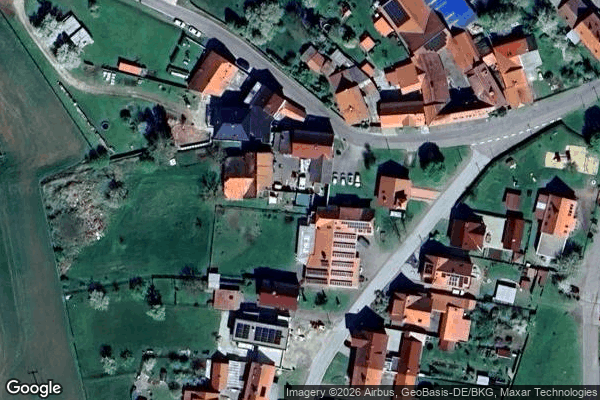
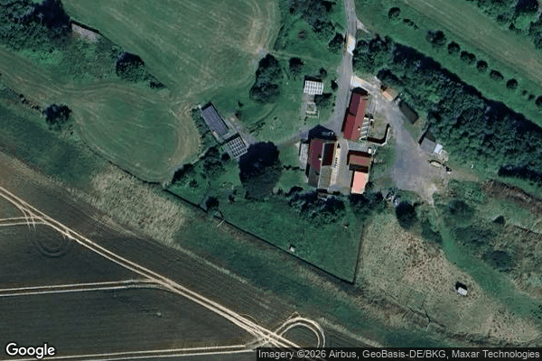
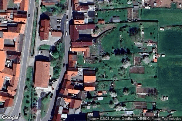
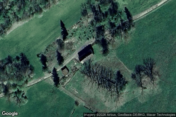
Spots in Eichsfeld
Arenshausen
Baumschulenweg, Bockelnhagen
Bischofferode

Breitenhölzer Straße, Leinefelde
Coordinates of the Spectral Grid
Ibergwarte
Kirchworbis
Leinefelder Südstadt, Birkungen

Leinefelder Südstadt, Birkungen
Mühlhäuser Straße, Dingelstädt
Nadelfabrik Engelmann, Heilbad Heiligenstadt
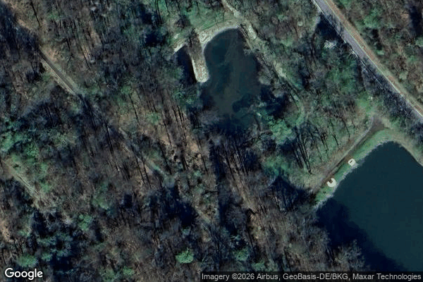
Pumphaus
Reinholterode
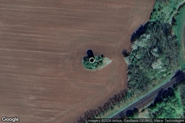
Rengelröder Warte
Roggenmühle

Stasi-Schleuse, Volkerode
Steinbach
Teichmühle
The Forgotten Coordinate
![[K7] [K8] Schellhasengraben, Heilbad Heiligenstadt](/api/images/a4d096878c74111c)
[K7] [K8] Schellhasengraben, Heilbad Heiligenstadt
ehem. Forsthaus Lindenberg, Wehnde

ehemalige FüSt der DDR-Grenztruppen, Duderstadt