Mappa Urbex Gera
18 luoghi abbandonati a Gera

18
luoghi
Pagamento unico - accesso a vita
Pagamento 100% sicuro
Connessione SSL crittografata · Nessun dato bancario memorizzato
Aggiornamenti a vita
Temi inclusi in questo pacchetto
- Rovine
- Case abbandonate
- Manieri
Tutti i luoghi abbandonati di Gera
18 coordinate GPS verificate nel dipartimento di Gera, Thuringen, Germania.
Cerchi luoghi abbandonati a Gera, Thuringen, Germania? Urbex Maps offre 18 coordinate GPS verificate di edifici abbandonati in questa zona, tra cui Rovine, Case abbandonate, Manieri.
18
spot verificati
GPS
Google Maps, Waze
luglio 2026
ultimo aggiornamento
Dove trovare luoghi abbandonati a Gera?
I luoghi abbandonati a Gera si trovano tramite la mappa urbex interattiva di Urbex Maps con 18 coordinate GPS verificate. Le categorie principali sono Rovine, Case abbandonate, Manieri.
Tipi di luoghi abbandonati a Gera
- Rovine
- Case abbandonate
- Manieri
Spots a Gera

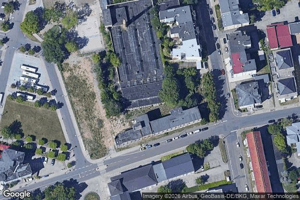
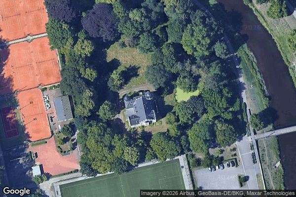
16, Gera
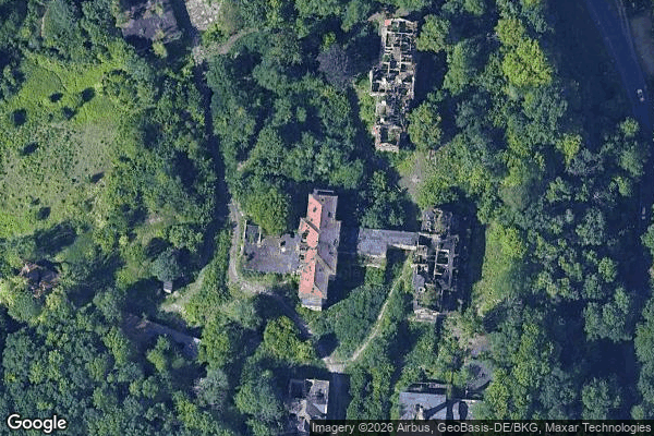
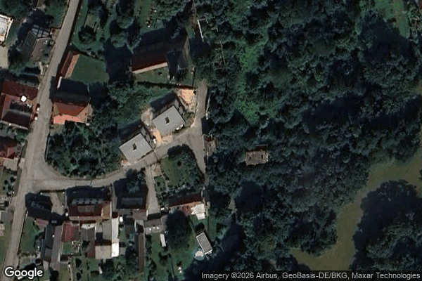
![Dead Spot - Manor V [DEU]](/api/images/15aa5b5e1dd945d7)
Dead Spot - Manor V [DEU]
Friedrich-Engels-Straße, Gera
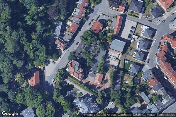
Haus "3 Birken" ambulant betreute Wohngruppen für Senioren, Gera

K 4, Röpsen

Roter Weg, Kaimberg

Rudolstädter Straße, Gera
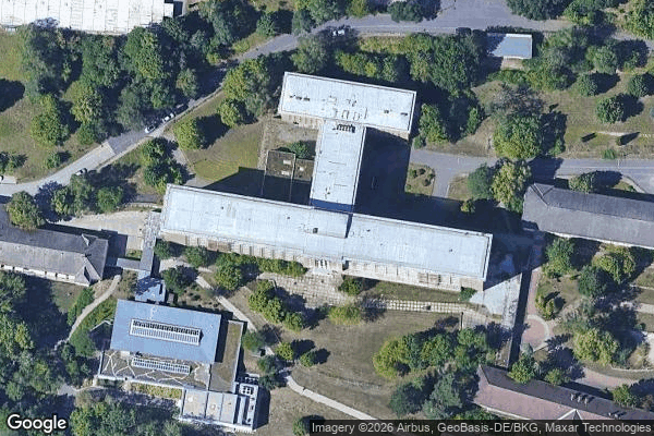
SRH Wald-Klinikum Gera, Ernsee

Shadows Mapped in Code

Traces Of The Mapped Void
Traces in the Array
Tschaikowskistraße, Gera

Untermhäuser Straße, Gera
Untermhäuser Straße, Gera

Untermhäuser Straße, Gera
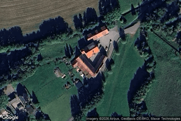
Untermühle Geißen
Vollersdorfer Straße, Gera
Wetterzeube