Urbex Map Sonneberg
32 abandoned places in Sonneberg

32
spots
One-time payment - lifetime access
100% Secure Checkout
SSL encrypted · No banking data stored
Regular lifetime updates
All abandoned places in Sonneberg
32 verified GPS coordinates in the department of Sonneberg, Thuringen, Germany.
Looking for abandoned places in Sonneberg, Thuringen, Germany? Urbex Maps offers 32 verified GPS coordinates of abandoned buildings in this area, including .
32
verified spots
GPS
Google Maps, Waze
July 2026
last update
Where to find abandoned places in Sonneberg?
The best way to find abandoned places in Sonneberg is through the interactive urbex map on Urbex Maps with 32 verified GPS coordinates. Top categories are .
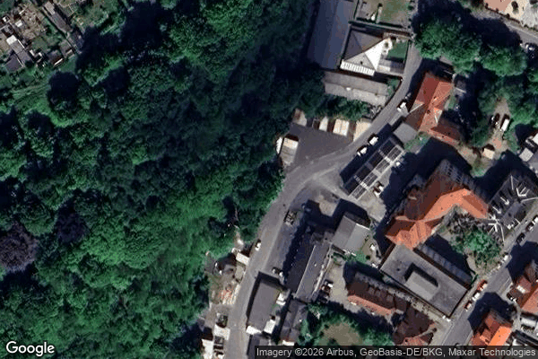
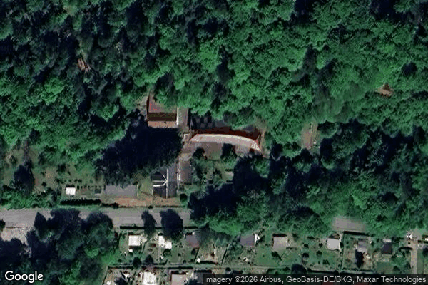
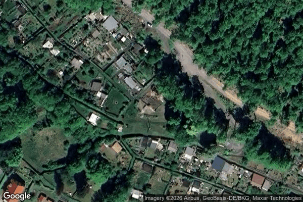
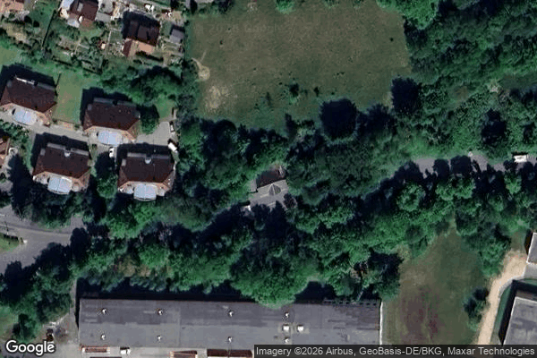
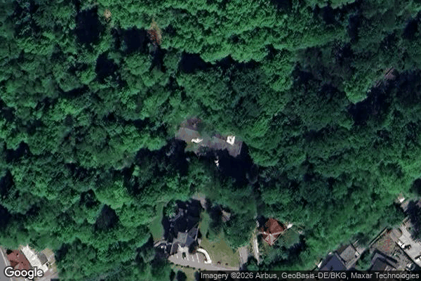
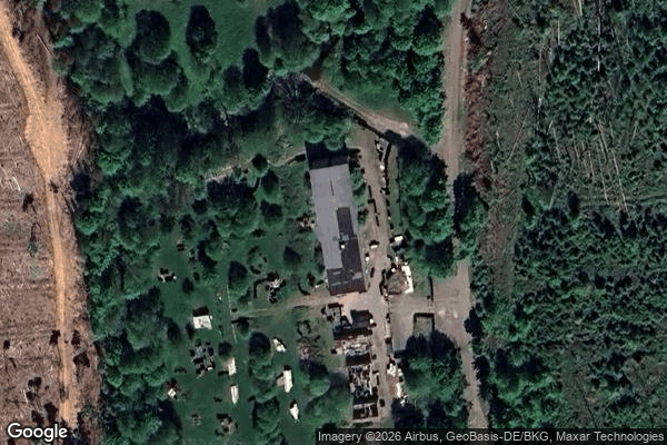
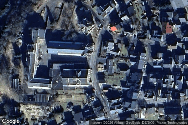
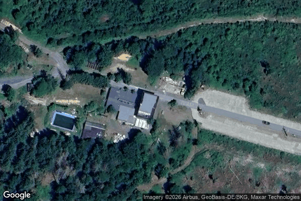
Spots in Sonneberg

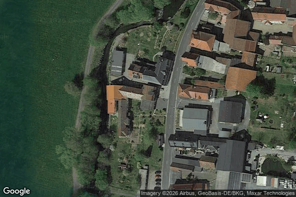
Apelsbergstraße, Lichte
Braugasse, Neufang

Effelderstraße, Schichtshöhn
Forschengereuther Straße, Sonneberg

Forschengereuther Straße, Sonneberg
Garden sheds

Gewerbepark, Rauenstein

Göritz, Steinach

Göritzweg, Steinheid
Köppelsdorfer Straße, Sonneberg
L 1112, Theuern

Obere Stadt, Neufang
Shadows of the Schema

Sprungschanze am Flößteich
Sprungschanze am Knock

Steinheid

Steinheid

Steinheid

Steinheid

The Geometry of Silence
The Imported Silence
The Latent Coordinate
The Mapped Void
The Spectral Coordinate
The Vector’s Ghost

Traced in Digital Dust
Traces of the Digital Ghost
Tracing the Phantom Grid
Tracing the Silent Coordinates
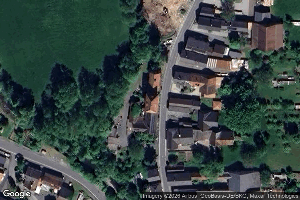
Untere Stadt, Neufang
Vectors of a Forgotten Grid

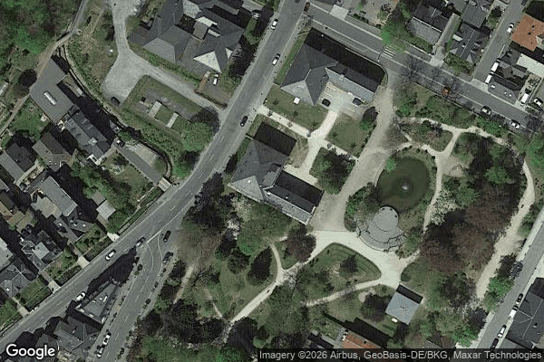
Wolkenrasen, Oberlind