Weimarer Land
Urbex Map Traces of the Vector
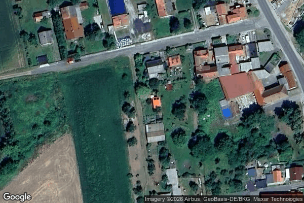
Weimarer LandThuringenGermany
Regular lifetime updates
Traces of the Vector - Coordonnées GPS Urbex
Obtenez la coordonnée GPS exacte de ce lieu abandonné situé dans le département Weimarer Land (Thuringen, Germany). Spot urbex vérifié et géolocalisé.
Niederreißen (German pronunciation: [ˈniːdɐˌʁaɪsn̩], lit. 'Lower Reißen', in contrast to "Upper Reißen") is a village and a former municipality in the Weimarer Land district of Thuringia, Germany. Since 31 December 2013, it is part of the municipality Ilmtal-Weinstraße.
0,90EUR
Paiement unique - accès à vie
100% Secure Checkout
AMEX
Google Pay
stripe
SSL encrypted · No banking data stored
Ce qui est inclus
- Coordonnée GPS exacte
- Photo satellite du spot
- Accès immédiat après achat