Dun Laoghaire Rathdown
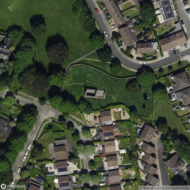
Urbex Map Grange Church (ruins)
Dun Laoghaire RathdownDublinIreland
Regular lifetime updates
- Churches
Grange Church (ruins) - Coordonnées GPS Urbex
Obtenez la coordonnée GPS exacte de ce lieu abandonné situé dans le département Dun Laoghaire Rathdown (Dublin, Ireland). Spot urbex vérifié et géolocalisé.
Deansgrange (Irish: Gráinseach an Déin, meaning 'The Dean's Grange') is a southern suburb of Dublin, centred on the crossroads of Clonkeen Road and Kill Lane. The area shares the name Clonkeen (Irish: Cluain Chaoin, meaning 'Beautiful Meadow') with the area further east, known as Kill of the Grange (i.e. "Church of the Grange of ": referring to Grange Church (now in ruins)).
0,90EUR
Paiement unique - accès à vie
100% Secure Checkout
AMEX
Google Pay
stripe
SSL encrypted · No banking data stored
Ce qui est inclus
- Coordonnée GPS exacte
- Photo satellite du spot
- Accès immédiat après achat