Fingal
Urbex Map Naomh Barróg Church
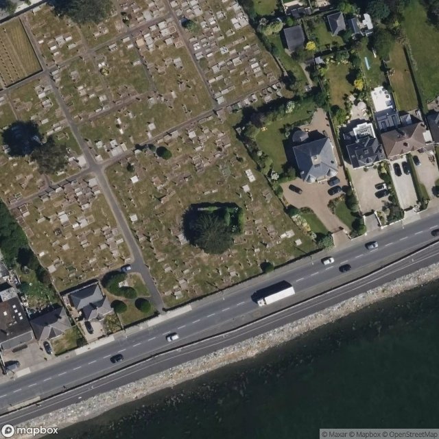
FingalDublinIreland
Regular lifetime updates
- Churches
Naomh Barróg Church - Coordonnées GPS Urbex
Obtenez la coordonnée GPS exacte de ce lieu abandonné situé dans le département Fingal (Dublin, Ireland). Spot urbex vérifié et géolocalisé.
Bayside (Irish: Cois Bá) is a small residential suburb on the northside of Dublin, Ireland, purpose-built from 1967 on lands previously part of Kilbarrack. It has a planned central service area with retail facilities and lies inshore of Bull Island. It absorbed a neighbouring development, Sutton Park, also on Kilbarrack lands adjacent to Baldoyle.
0,90EUR
Paiement unique - accès à vie
100% Secure Checkout
AMEX
Google Pay
stripe
SSL encrypted · No banking data stored
Ce qui est inclus
- Coordonnée GPS exacte
- Photo satellite du spot
- Accès immédiat après achat