South Dublin
Urbex Map Ballyboden
South DublinDublinIreland
Regular lifetime updates
Ballyboden - Coordonnées GPS Urbex
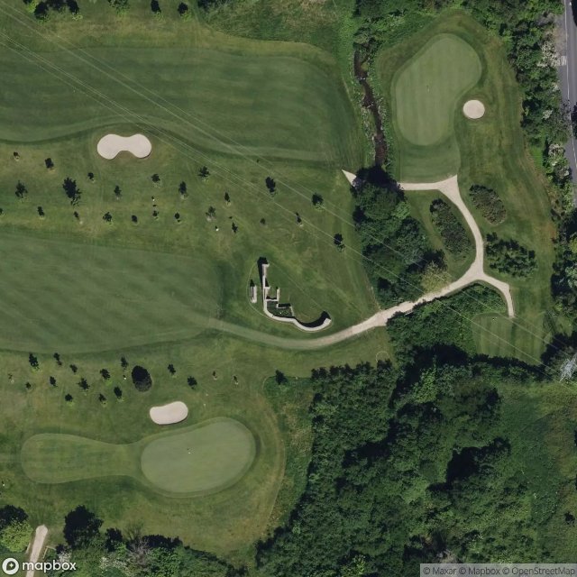
Obtenez la coordonnée GPS exacte de ce lieu abandonné situé dans le département South Dublin (Dublin, Ireland). Spot urbex vérifié et géolocalisé.
Edmondstown (Irish: Baile Éamainn), also historically called 'Ballyhamon', is a townland of Rathfarnham in South Dublin. It is on the R116 regional road, south of Ballyboden and north of Rockbrook, in the valley of the Owendoher River, and is in the local government area of South Dublin. Edmondstown National School is a Catholic primary school which serves the local area and has an attendance of 103 students.
0,90EUR
Paiement unique - accès à vie
100% Secure Checkout
AMEX
Google Pay
stripe
SSL encrypted · No banking data stored
Ce qui est inclus
- Coordonnée GPS exacte
- Photo satellite du spot
- Accès immédiat après achat