Ratoath
Urbex Map Mulhussey Church
RatoathMeathIreland
Regular lifetime updates
- Churches
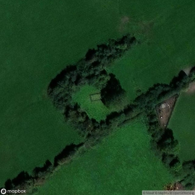
Mulhussey Church - Coordonnées GPS Urbex
Obtenez la coordonnée GPS exacte de ce lieu abandonné situé dans le département Ratoath (Meath, Ireland). Spot urbex vérifié et géolocalisé.
Mulhussey (Irish: Maol Hosae, meaning 'Hussey's summit') is a townland and village in County Meath, Ireland. It has a school, a castle with accompanying cemetery, a nearby church (or the 'Little Chapel', as it is commonly known) at the edge of the Kilcloon parish in Kilcock, and a religious antiquity, St Bridgid's Well, located in Calgath near Mulhussey.
0,90EUR
Paiement unique - accès à vie
100% Secure Checkout
AMEX
Google Pay
stripe
SSL encrypted · No banking data stored
Ce qui est inclus
- Coordonnée GPS exacte
- Photo satellite du spot
- Accès immédiat après achat