Mullingar Kinnegad
Urbex Map Columbarium
Mullingar KinnegadWestmeathIreland
Regular lifetime updates
Columbarium - Coordonnées GPS Urbex
Obtenez la coordonnée GPS exacte de ce lieu abandonné situé dans le département Mullingar Kinnegad (Westmeath, Ireland). Spot urbex vérifié et géolocalisé.
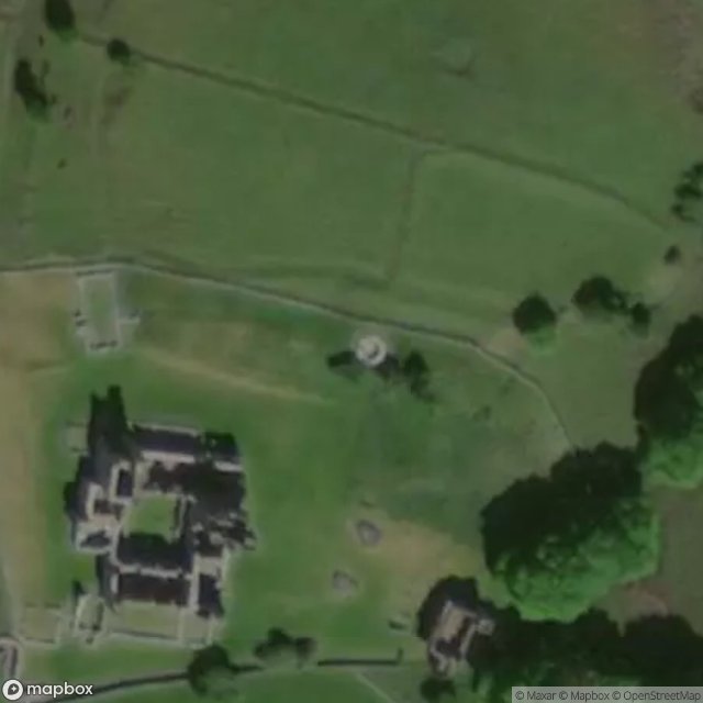
Fore Abbey (Irish: Mainistir Fhobhair) is the ruins of a Benedictine and Early Gaelic 7th century Abbey with associated Mill, Anchorite's Cell, Holy Wells and a structure associated with St. Féichín, all situated to the north of Lough Lene in County Westmeath, adjacent to Fore village. Architectural additions, damage by fire and dismantlement have altered the site's appearance and layout over the centuries.
0,90EUR
Paiement unique - accès à vie
100% Secure Checkout
AMEX
Google Pay
stripe
SSL encrypted · No banking data stored
Ce qui est inclus
- Coordonnée GPS exacte
- Photo satellite du spot
- Accès immédiat après achat