Mullingar Kinnegad
Urbex Map The Transposed Geometry
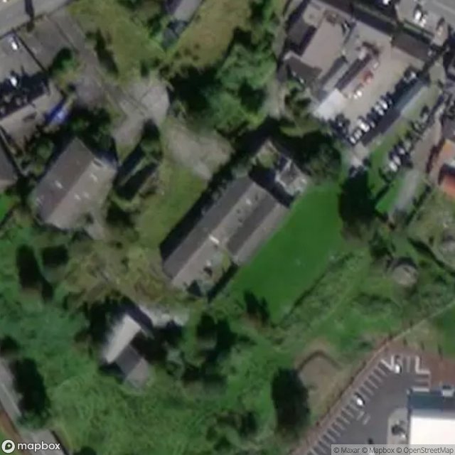
Mullingar KinnegadWestmeathIreland
Regular lifetime updates
The Transposed Geometry - Coordonnées GPS Urbex
Obtenez la coordonnée GPS exacte de ce lieu abandonné situé dans le département Mullingar Kinnegad (Westmeath, Ireland). Spot urbex vérifié et géolocalisé.
Kinnegad (Irish: Cionn Átha Gad, meaning 'head of the ford of withes') is a town in County Westmeath, Ireland. It is on the border with County Meath, near the junction of the M6 and the M4 motorways - two of Ireland's main east–west roads. It is roughly 60 km from the capital, Dublin.
0,90EUR
Paiement unique - accès à vie
100% Secure Checkout
AMEX
Google Pay
stripe
SSL encrypted · No banking data stored
Ce qui est inclus
- Coordonnée GPS exacte
- Photo satellite du spot
- Accès immédiat après achat