Mappa Urbex Via Ezio Geloni, Casteggio
Aggiornamenti a vita
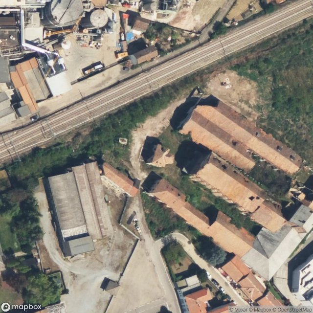
Via Ezio Geloni, Casteggio - Coordonnées GPS Urbex
Obtenez la coordonnée GPS exacte de ce lieu abandonné situé dans le département Pavia (Lombardia, Italia). Spot urbex vérifié et géolocalisé.
Clastidium (modern Casteggio), was a village of the Ligurian tribe of Anamares (Marici named also) in Gallia Cispadana, on the Via Postumia, 5 miles east of Iria (modern Voghera) and 31 miles west of Placentia. Here in 222 BC, Marcus Claudius Marcellus defeated the Gauls and won the spolia opima; in 218 BC, Hannibal took it and its stores of grain by treachery. It never had an independent government, and not later than 190 BC was made part of the colony of Placentia, founded in 218 BC. In the Au
Paiement unique - accès à vie
Pagamento 100% sicuro
Connessione SSL crittografata · Nessun dato bancario memorizzato
Ce qui est inclus
- Coordonnée GPS exacte
- Photo satellite du spot
- Accès immédiat après achat